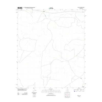
2012 Map of Suggs
USGS Topo · Published 2012About this map
The Edwards Plateau landscape of Irion County is the primary focus of this topographic study, where the arid terrain is defined by the winding course of Spring Cr across its northern reaches. This 2012 survey illustrates a sparsely populated ranching territory characterized by long-distance county roads and large landholdings. In the southeastern portion of the map, the De Long Ranch serves as a primary marker of the local economy and settlement pattern. The network of roads, including Co RD-304 and Co RD-131, highlights the infrastructure necessary to navigate this expansive Texas environment, providing a detailed look at the geographic layout of the Suggs area in the early 21st century.
Find a feature on this map
5 named features on this map. Tap any name to fly to it.
Don’t see what you’re looking for? This feature index may not catch every label — zoom into the map to look around manually.
Map Details
Editions of this 2012 Suggs Map
This is the sole edition of this map. No revisions or reprints were ever made.
Other maps of this area

1895 · Sherwood
USGS Topo · 1:125,000

1920 · Barnhart
USGS Topo · 1:62,500

1922 · Barnhart
USGS Topo · 1:62,500

1954 · Sonora
USGS Topo · 1:250,000

1954 · San Angelo
USGS Topo · 1:250,000

1958 · Sonora
USGS Topo · 1:250,000

1958 · San Angelo
USGS Topo · 1:250,000

1964 · Oglesby Ranch
USGS Topo · 1:24,000

1965 · San Angelo
USGS Topo · 1:250,000

1967 · Double Mill Draw NW
USGS Topo · 1:24,000