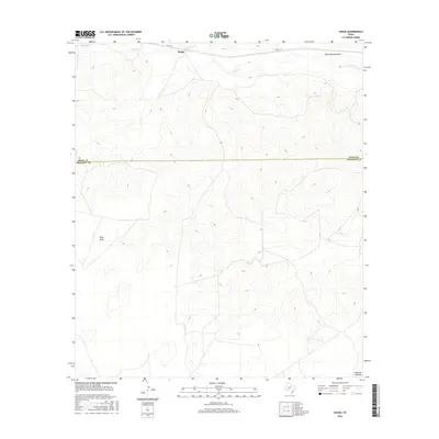
2016 Map of Suggs
USGS Topo · Published 2016About this map
Suggs sits atop the high, dissected landscape of the Edwards Plateau in West Texas, marking a remote corner where the rangelands of Irion and Crockett counties meet. This 2016 survey illustrates a terrain defined by its complex drainage systems, characterized by seasonal watercourses like Spring Cr and the deeply etched channels of Dutch Woman Draw and Nine Draw. The presence of Co Rd 131 provides a primary point of access through this part of the Concho Valley region, highlighting the persistence of ranching infrastructure in a sparsely populated environment. The map details the transition from high plateau surfaces to the rugged drainage basins that eventually feed into the regional watershed, offering a precise look at the land's contours and the scattered developments that define contemporary rural life in this semi-arid expanse.
Find a feature on this map
7 named features on this map. Tap any name to fly to it.
Don’t see what you’re looking for? This feature index may not catch every label — zoom into the map to look around manually.
Map Details
Editions of this 2016 Suggs Map
This is the sole edition of this map. No revisions or reprints were ever made.
Other maps of this area

1895 · Sherwood
USGS Topo · 1:125,000

1920 · Barnhart
USGS Topo · 1:62,500

1922 · Barnhart
USGS Topo · 1:62,500

1954 · Sonora
USGS Topo · 1:250,000

1954 · San Angelo
USGS Topo · 1:250,000

1958 · Sonora
USGS Topo · 1:250,000

1958 · San Angelo
USGS Topo · 1:250,000

1964 · Oglesby Ranch
USGS Topo · 1:24,000

1965 · San Angelo
USGS Topo · 1:250,000

1967 · Double Mill Draw NW
USGS Topo · 1:24,000