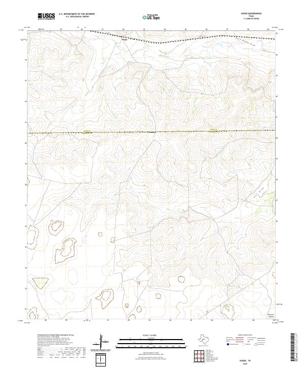
2022 Map of Suggs
USGS Topo · Published 2022About this map
Suggs serves as a lone named focal point along the northern boundary of Crockett County, situated at the edge of the sprawling Edwards Plateau. The landscape is defined by the deep, seasonal drainage systems characteristic of the region, including the winding Dutch Woman Draw and the distinct Nine Draw to the east. These intermittent watercourses, along with Spring Cr in the north, illustrate the intricate hydrologic patterns of the West Texas divide. The boundary between Irion and Crockett counties cuts across the center of the map, while Co Rd 131 provides the primary transit route through this open ranching country, where the elevation and contour lines trace the rugged descent from the plateau into the dry washes below.
Find a feature on this map
7 named features on this map. Tap any name to fly to it.
Don’t see what you’re looking for? This feature index may not catch every label — zoom into the map to look around manually.
Map Details
Editions of this 2022 Suggs Map
This is the sole edition of this map. No revisions or reprints were ever made.
Other maps of this area

1895 · Sherwood
USGS Topo · 1:125,000

1920 · Barnhart
USGS Topo · 1:62,500

1922 · Barnhart
USGS Topo · 1:62,500

1954 · Sonora
USGS Topo · 1:250,000

1954 · San Angelo
USGS Topo · 1:250,000

1958 · Sonora
USGS Topo · 1:250,000

1958 · San Angelo
USGS Topo · 1:250,000

1964 · Oglesby Ranch
USGS Topo · 1:24,000

1965 · San Angelo
USGS Topo · 1:250,000

1967 · Double Mill Draw NW
USGS Topo · 1:24,000