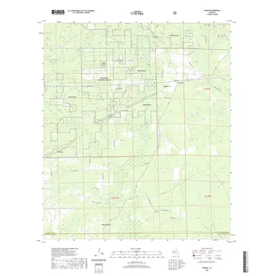
2020 Map of Sugrue
USGS Topo · Published 2020About this map
Fort Polk dominates much of this landscape in Vernon Parish, highlighting the enduring military presence within the Kisatchie National Forest. The map documents a rural network of small settlements and family-linked sites, such as Cole Central, Sugrue, and Cravens. These communities are connected by a web of local routes including Old Railroad Gr and Lone Star Church Rd, reflecting the region’s history of timber harvesting and local transit.
Find a feature on this map
73 named features on this map. Tap any name to fly to it.
Don’t see what you’re looking for? This feature index may not catch every label — zoom into the map to look around manually.
Map Details
Editions of this 2020 Sugrue Map
This is the sole edition of this map. No revisions or reprints were ever made.
Other maps of this area

1941 · Slagle
USGS Topo · 1:62,500

1943 · Leander
USGS Topo · 1:62,500

1944 · Slagle
USGS Topo · 1:62,500

1947 · Ikes
USGS Topo · 1:31,680

1947 · Chasmore
USGS Topo · 1:31,680

1947 · Grant
USGS Topo · 1:31,680

1947 · Sugartown
USGS Topo · 1:31,680

1947 · Sugrue
USGS Topo · 1:31,680

1947 · Pitkin
USGS Topo · 1:31,680

1948 · Grant
USGS Topo · 1:24,000