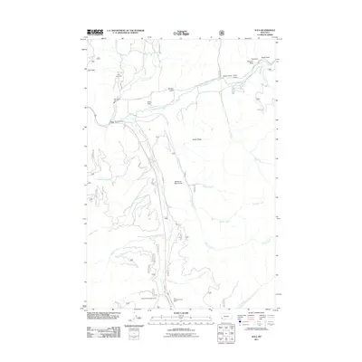
2011 Map of Sula
USGS Topo · Published 2011About this map
Ross Hole serves as a prominent geographical landmark in this high-country basin, where the East Fork Bitterroot River meets several mountain drainages. The small community of Sula is anchored by the Sula Post Office and Sula Rural Fire Dist Sta 1, providing a primary point of reference for the surrounding valley. In the north, Sula Creek and Cameron Creek flow toward the river, while the south is dominated by the steep slopes of the Bitterroot Mountains.
Find a feature on this map
37 named features on this map. Tap any name to fly to it.
Don’t see what you’re looking for? This feature index may not catch every label — zoom into the map to look around manually.
Map Details
Editions of this 2011 Sula Map
This is the sole edition of this map. No revisions or reprints were ever made.
Other maps of this area

1955 · Dillon
USGS Topo · 1:250,000

1956 · Elk City
USGS Topo · 1:250,000

1957 · Dillon
USGS Topo · 1:250,000

1958 · Dillon
USGS Topo · 1:250,000

1960 · Elk City
USGS Topo · 1:250,000

1960 · Piquett Mountain
USGS Topo · 1:62,500

1962 · Dillon
USGS Topo · 1:250,000
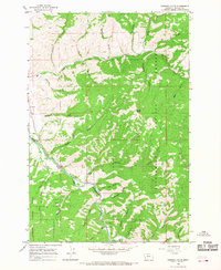
1964 · Robbins Gulch
USGS Topo · 1:24,000

1965 · Dillon
USGS Topo · 1:250,000

1965 · Medicine Hot Springs
USGS Topo · 1:24,000