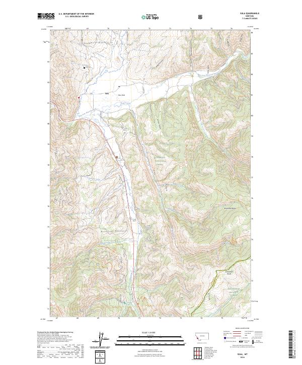
2024 Map of Sula
USGS Topo · Published 2024About this map
Ross Hole provides a natural basin for the settlement of Sula, where the East Fork Bitterroot River meets several mountain drainages. This high-altitude valley is framed by the Sapphire Mountains to the north and the Bitterroot Mountains to the south, creating a complex intersection of terrain that has historically dictated travel and land use. Local history is anchored at the Sula Cem and by a network of ranch and forest roads like French Basin Rd and Sula Creek Rd.
Find a feature on this map
51 named features on this map. Tap any name to fly to it.
Don’t see what you’re looking for? This feature index may not catch every label — zoom into the map to look around manually.
Map Details
Editions of this 2024 Sula Map
This is the sole edition of this map. No revisions or reprints were ever made.
Other maps of this area

1955 · Dillon
USGS Topo · 1:250,000

1956 · Elk City
USGS Topo · 1:250,000

1957 · Dillon
USGS Topo · 1:250,000

1958 · Dillon
USGS Topo · 1:250,000

1960 · Elk City
USGS Topo · 1:250,000

1960 · Piquett Mountain
USGS Topo · 1:62,500

1962 · Dillon
USGS Topo · 1:250,000
1964 · Robbins Gulch
USGS Topo · 1:24,000

1965 · Dillon
USGS Topo · 1:250,000

1965 · Medicine Hot Springs
USGS Topo · 1:24,000