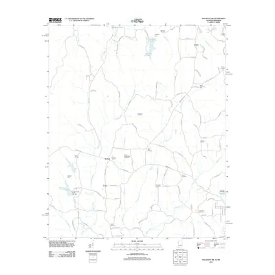
2011 Map of Sulligent SW
USGS Topo · Published 2011About this map
Bedford serves as a central hub in this corner of Alabama, where the landscape is defined by the winding paths of Wilson Creek and Cut Bank Creek. The 2011 survey reveals an area of quiet rural industry, featuring the Hillsdale Dairy and the Military Grove Gas Field. Water management is prominent throughout the terrain, with infrastructure like the William Phillips Dam at Bedford, Sulligent Dam, and the Lamar County Public Lake Dam controlling the local flow. For genealogists, the map is a primary source for locating family burials across numerous sites including Pleasant Ridge Cemetery, Shiloh Cemetery, and New Church Cemetery. The road network, ranging from Military Grove Rd to Gattman Rd, connects these scattered settlements and landmarks in a traditional Southern agricultural and resource-rich landscape.
Find a feature on this map
107 named features on this map. Tap any name to fly to it.
Don’t see what you’re looking for? This feature index may not catch every label — zoom into the map to look around manually.
Map Details
Editions of this 2011 Sulligent SW Map
This is the sole edition of this map. No revisions or reprints were ever made.
Other maps of this area

1953 · West Point
USGS Topo · 1:250,000

1958 · West Point
USGS Topo · 1:250,000

1960 · Caledonia
USGS Topo · 1:62,500

1963 · West Point
USGS Topo · 1:250,000

1966 · Greenwood Springs
USGS Topo · 1:24,000

1966 · Amory SE
USGS Topo · 1:24,000

1967 · Sulligent
USGS Topo · 1:24,000

1967 · Beaverton
USGS Topo · 1:24,000

1967 · Hightogy
USGS Topo · 1:24,000

1967 · Sulligent SW
USGS Topo · 1:24,000