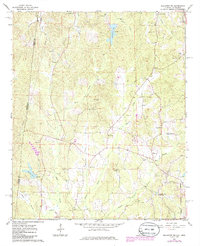
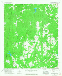
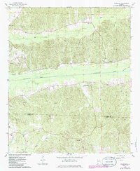
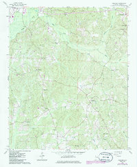
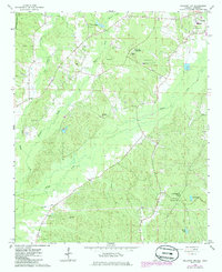
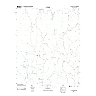
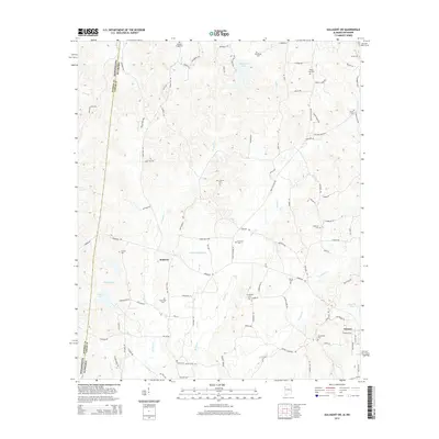
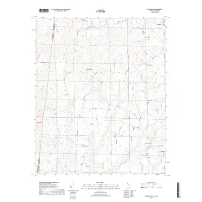
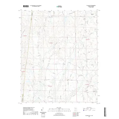
1967 Map of Sulligent SW
USGS Topo · Published 1986About this map
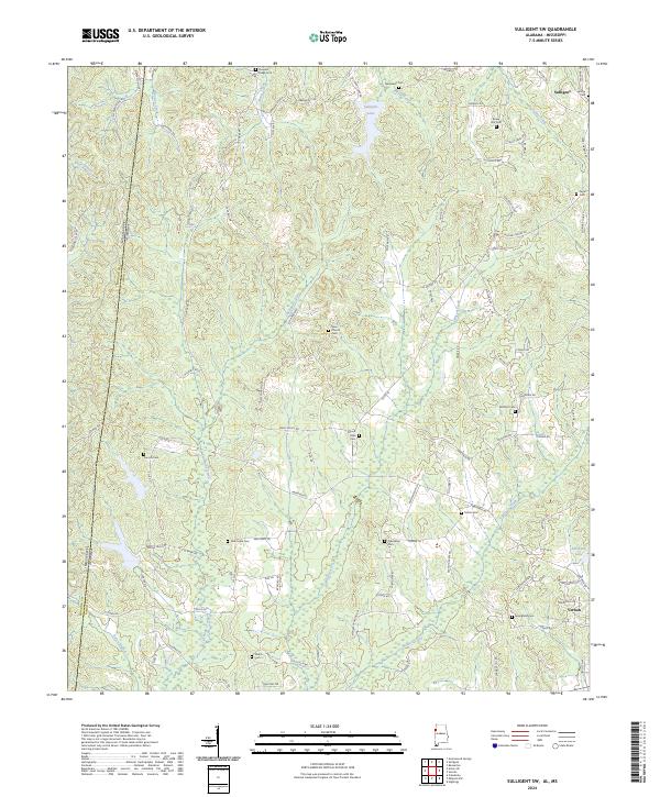
The Alabama-Mississippi state line defines the western boundary of this territory in Lamar County, where rural life in the late 1960s centered on a dense network of country churches and small family cemeteries. The landscape is carved by numerous waterways including Walker Creek, Indian Creek, and Bank Creek, which feed into the larger drainage systems. A notable concentration of community landmarks appears throughout the hills, from Pleasant Ridge Ch in the north to Academy Ch and Shiloh Ch in the south. The presence of Bedford Sch and various local burial grounds like Bankhead Cem and Taylor Cem indicates a long-settled rural population. Industrial activity is represented by several Gravel Pits scattered near the Watson Creek area, while the northern section features the engineering of Sulligent Lake with its primary Spillway.
Find a feature on this map
41 named features on this map. Tap any name to fly to it.
Don’t see what you’re looking for? This feature index may not catch every label — zoom into the map to look around manually.
Map Details
Editions of this 1967 Sulligent SW Map
2 editions found
Historical Maps of Vernon Through Time
24 maps found
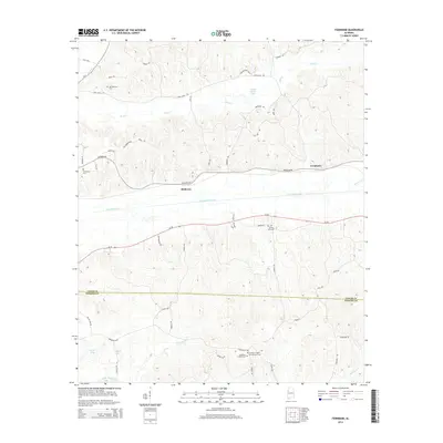
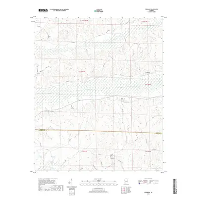
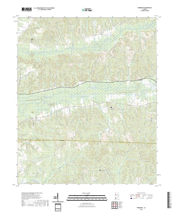
1967 Fernbank
Lamar County, AL
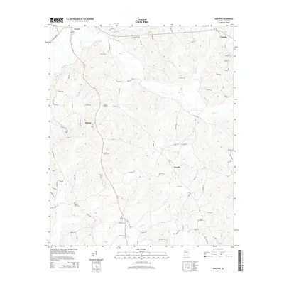
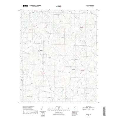
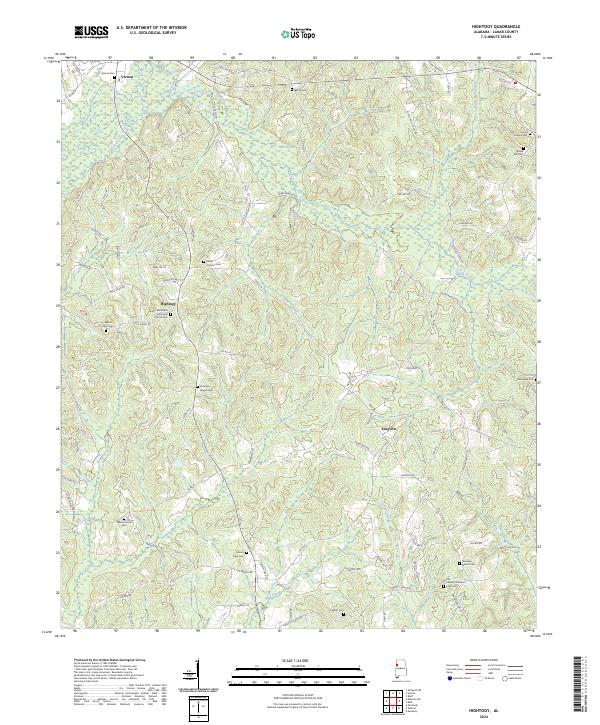
1967 Hightogy
Lamar County, AL
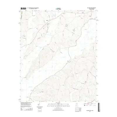
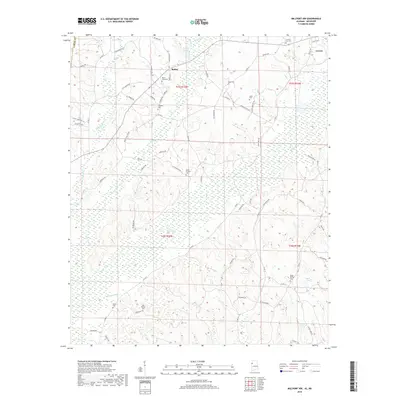
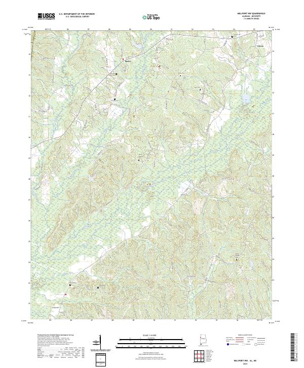
1967 Millport NW
Lamar County, AL
1967 Sulligent SW
Lamar County, AL
2011 Fernbank
Lamar County, AL
2011 Hightogy
Lamar County, AL
2011 Millport NW
Lamar County, AL
2011 Sulligent SW
Lamar County, AL
2014 Fernbank
Lamar County, AL
2014 Hightogy
Lamar County, AL
2014 Millport NW
Lamar County, AL
2014 Sulligent SW
Lamar County, AL
2018 Fernbank
Lamar County, AL
2018 Hightogy
Lamar County, AL
2018 Millport NW
Lamar County, AL
2018 Sulligent SW
Lamar County, AL
2020 Fernbank
Lamar County, AL
2020 Hightogy
Lamar County, AL
2020 Millport NW
Lamar County, AL
2020 Sulligent SW
Lamar County, AL
2024 Fernbank
Lamar County, AL
2024 Hightogy
Lamar County, AL
2024 Millport NW
Lamar County, AL
2024 Sulligent SW
Lamar County, AL