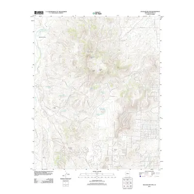
2011 Map of Sullivan Buttes
USGS Topo · Published 2011About this map
Williamson Valley defines the western reaches of this landscape, where the seasonal waters of the Williamson Valley Wash and Mint Wash converge. The terrain is marked by distinctive volcanic formations including Sullivan Buttes and Simmons Peak, which overlook a network of livestock tanks such as Section Two Dam Tank and Pemberton Tank. These water sources reflect the area's ongoing ranching heritage, even as residential growth expands near the southern border.
Find a feature on this map
80 named features on this map. Tap any name to fly to it.
Don’t see what you’re looking for? This feature index may not catch every label — zoom into the map to look around manually.
Map Details
Editions of this 2011 Sullivan Buttes Map
This is the sole edition of this map. No revisions or reprints were ever made.
Other maps of this area

1887 · Prescott
USGS Topo · 1:250,000

1892 · Prescott
USGS Topo · 1:250,000

1905 · Jerome
USGS Topo · 1:125,000

1947 · Simmons
USGS Topo · 1:62,500

1947 · Iron Springs
USGS Topo · 1:62,500

1947 · Paulden
USGS Topo · 1:62,500

1947 · Prescott
USGS Topo · 1:62,500

1948 · Iron Springs
USGS Topo · 1:63,360

1948 · Prescott
USGS Topo · 1:62,500

1948 · Simmons
USGS Topo · 1:63,360