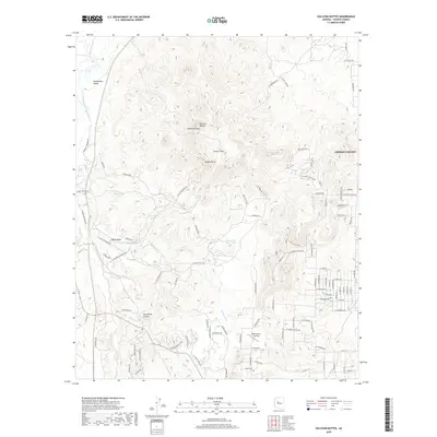
2018 Map of Sullivan Buttes
USGS Topo · Published 2018About this map
Chino Valley borders the eastern edge of this Yavapai County landscape, where the high desert terrain transitions into the broad expanse of Williamson Valley. The area is defined by a network of drainage systems and stock water management, including the Williamson Valley Wash, Dillon Wash, and Mint Wash. Prominent volcanic and erosional features such as Sullivan Buttes, Simmons Peak, and Saddle Butte dominate the central topography.
Find a feature on this map
91 named features on this map. Tap any name to fly to it.
Don’t see what you’re looking for? This feature index may not catch every label — zoom into the map to look around manually.
Map Details
Editions of this 2018 Sullivan Buttes Map
This is the sole edition of this map. No revisions or reprints were ever made.
Other maps of this area

1887 · Prescott
USGS Topo · 1:250,000

1892 · Prescott
USGS Topo · 1:250,000

1905 · Jerome
USGS Topo · 1:125,000

1947 · Simmons
USGS Topo · 1:62,500

1947 · Iron Springs
USGS Topo · 1:62,500

1947 · Paulden
USGS Topo · 1:62,500

1947 · Prescott
USGS Topo · 1:62,500

1948 · Iron Springs
USGS Topo · 1:63,360

1948 · Prescott
USGS Topo · 1:62,500

1948 · Simmons
USGS Topo · 1:63,360