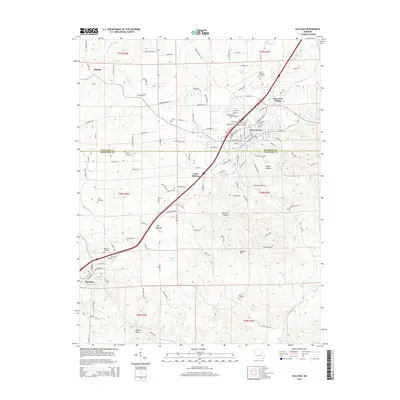
2015 Map of Sullivan
USGS Topo · Published 2015About this map
Sullivan and the surrounding borderlands of Franklin Co and Crawford Co are defined by the winding course of the Meramec River and the industrial backbone of the BNSF Railway. This 2015 study shows a landscape of settled valleys and named hollows, where the expansion of Oak Grove Village and West Sullivan contrasts with the enduring topography of Mineral Hill and Pump Hollow. Local genealogy is well-documented through numerous burial sites, including the Independent Order of Odd Fellows Memorial Cemetery and the family-named Turner Cemetery near the banks of Boone Creek. The proximity of Bourbon at the southwestern corner of the sheet highlights the region's historic transition from agricultural pockets to small-town centers along the rail corridor. Landmarks like City Park Lake and the various springs and lakes, such as Ramstein Lake, illustrate the significance of water resources to the community's development and recreation.
Find a feature on this map
136 named features on this map. Tap any name to fly to it.
Don’t see what you’re looking for? This feature index may not catch every label — zoom into the map to look around manually.
Map Details
Editions of this 2015 Sullivan Map
This is the sole edition of this map. No revisions or reprints were ever made.
Other maps of this area

1903 · Sullivan
USGS Topo · 1:125,000

1934 · Meramec State Park
USGS Topo · 1:24,000

1935 · Gerald
USGS Topo · 1:48,000

1937 · Meramec State Park
USGS Topo · 1:24,000

1941 · Gerald
USGS Topo · 1:62,500

1944 · Gerald
USGS Topo · 1:62,500

1946 · Union
USGS Topo · 1:62,500

1947 · Sullivan
USGS Topo · 1:62,500

1948 · Leasburg
USGS Topo · 1:24,000

1948 · Argo
USGS Topo · 1:24,000