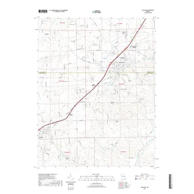
2017 Map of Sullivan
USGS Topo · Published 2017About this map
Sullivan and Bourbon anchor this 2017 survey of the Missouri Ozark foothills, where the plateau begins its descent toward the Meramec River valley. The map documents a corridor of growth along the interstate, connecting West Sullivan, Saint Cloud, and Oak Grove Village. For genealogists, the sheet is exceptionally detailed with local burial sites including the Independent Order of Odd Fellows Memorial Cem, Finney Cem, and Rock Cem near the river bluffs.
Find a feature on this map
160 named features on this map. Tap any name to fly to it.
Don’t see what you’re looking for? This feature index may not catch every label — zoom into the map to look around manually.
Map Details
Editions of this 2017 Sullivan Map
This is the sole edition of this map. No revisions or reprints were ever made.
Other maps of this area

1903 · Sullivan
USGS Topo · 1:125,000

1934 · Meramec State Park
USGS Topo · 1:24,000

1935 · Gerald
USGS Topo · 1:48,000

1937 · Meramec State Park
USGS Topo · 1:24,000

1941 · Gerald
USGS Topo · 1:62,500

1944 · Gerald
USGS Topo · 1:62,500

1946 · Union
USGS Topo · 1:62,500

1947 · Sullivan
USGS Topo · 1:62,500

1948 · Leasburg
USGS Topo · 1:24,000

1948 · Argo
USGS Topo · 1:24,000