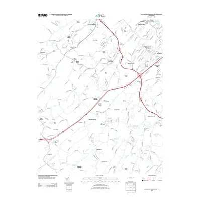
2013 Map of Sullivan Gardens
USGS Topo · Published 2013About this map
Sullivan Gardens and the surrounding Tennessee ridge-and-valley landscape are documented here in detail, revealing a complex network of small rural settlements and family-named landmarks. The area's agricultural and industrial heritage is evident through features like Kincheloe Mill and Valley Grove Farm, while older community hubs such as Haws Crossroads, Gabtown, and Pactolus anchor the local geography. The terrain is defined by a series of prominent elevations including Roseberry Ridge, Easley Ridge, and Old Mountain, which separate numerous hollows and spring-fed valleys.
Find a feature on this map
76 named features on this map. Tap any name to fly to it.
Don’t see what you’re looking for? This feature index may not catch every label — zoom into the map to look around manually.
Map Details
Editions of this 2013 Sullivan Gardens Map
This is the sole edition of this map. No revisions or reprints were ever made.
Other maps of this area

1891 · Roan Mountain
USGS Topo · 1:125,000

1892 · Greeneville
USGS Topo · 1:125,000

1894 · Roan Mountain
USGS Topo · 1:125,000

1894 · Estillville
USGS Topo · 1:125,000

1896 · Greeneville
USGS Topo · 1:125,000

1897 · Bristol
USGS Topo · 1:125,000

1902 · Bristol
USGS Topo · 1:125,000

1904 · Roan Mountain
USGS Topo · 1:125,000

1904 · Greeneville
USGS Topo · 1:125,000

1935 · Lovelace
USGS Topo · 1:24,000