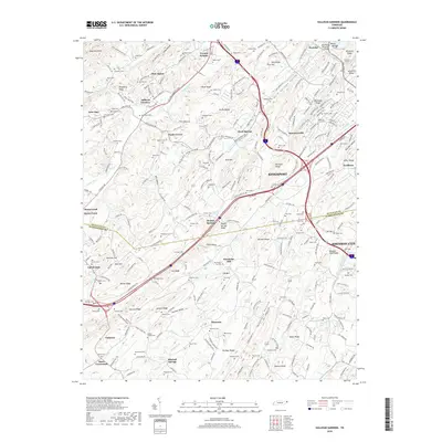
2019 Map of Sullivan Gardens
USGS Topo · Published 2019About this map
Kingsport and the northwestern edge of Johnson City anchor this modern-era study of the Sullivan and Washington County border. The landscape is defined by the parallel ridges of the Ridge-and-Valley province, including Bays Mountain, Easley Ridge, and Howard Ridge. These terrain features funnel development into valleys like Rock Springs Valley and Jackson Valley, where older community identities persist through numerous family cemeteries and small settlements.
Find a feature on this map
235 named features on this map. Tap any name to fly to it.
Don’t see what you’re looking for? This feature index may not catch every label — zoom into the map to look around manually.
Map Details
Editions of this 2019 Sullivan Gardens Map
This is the sole edition of this map. No revisions or reprints were ever made.
Other maps of this area

1891 · Roan Mountain
USGS Topo · 1:125,000

1892 · Greeneville
USGS Topo · 1:125,000

1894 · Roan Mountain
USGS Topo · 1:125,000

1894 · Estillville
USGS Topo · 1:125,000

1896 · Greeneville
USGS Topo · 1:125,000

1897 · Bristol
USGS Topo · 1:125,000

1902 · Bristol
USGS Topo · 1:125,000

1904 · Roan Mountain
USGS Topo · 1:125,000

1904 · Greeneville
USGS Topo · 1:125,000

1935 · Lovelace
USGS Topo · 1:24,000