2022 Map of Sullivan Gardens
USGS Topo · Published 2022About this map
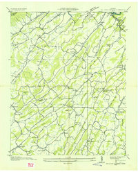
Sullivan Gardens sits within a complex terrain of ridges and valleys southwest of Kingsport, defined by the prominent Bays Mountain and Roseberry Ridge to the north. This modern landscape is heavily influenced by the watershed of Horse Creek and its many tributaries, which carved the deep folds of Dark Hollow and Irvin Hollow. The map reveals a dense network of family history markers, particularly through its numerous cemeteries such as the Slaughter Cem and Kendricks Creek Cem.
Find a feature on this map
266 named features on this map. Tap any name to fly to it.
Don’t see what you’re looking for? This feature index may not catch every label — zoom into the map to look around manually.
Map Details
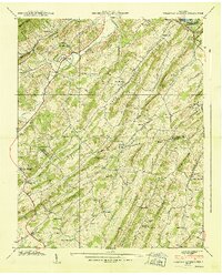
Editions of this 2022 Sullivan Gardens Map
This is the sole edition of this map. No revisions or reprints were ever made.
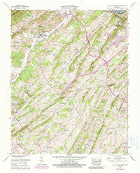
Historical Maps of Easley Estates Through Time
4 maps found