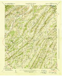
1939 Map of Sullivan Gardens
USGS Topo · Published 1939About this map
Kincheloe Mill and numerous rural schools define the settlement pattern of this Tennessee landscape in the late 1930s, where small communities are tucked between the ridges of the Appalachian foothills. The Clinchfield Railroad cuts through the northern terrain, passing through the Kendrick Tunnel near the South Fork Holston River. The map reveals a dense network of local education and faith, with sites like Sullivan High School, Pactolus School, and Eastern Star Church serving as community anchors.
Find a feature on this map
72 named features on this map. Tap any name to fly to it.
Don’t see what you’re looking for? This feature index may not catch every label — zoom into the map to look around manually.
Map Details
Editions of this 1939 Sullivan Gardens Map
This is the sole edition of this map. No revisions or reprints were ever made.
Other maps of this area

1891 · Roan Mountain
USGS Topo · 1:125,000

1892 · Greeneville
USGS Topo · 1:125,000

1894 · Roan Mountain
USGS Topo · 1:125,000

1894 · Estillville
USGS Topo · 1:125,000

1896 · Greeneville
USGS Topo · 1:125,000

1897 · Bristol
USGS Topo · 1:125,000

1902 · Bristol
USGS Topo · 1:125,000

1904 · Roan Mountain
USGS Topo · 1:125,000

1904 · Greeneville
USGS Topo · 1:125,000

1935 · Lovelace
USGS Topo · 1:24,000