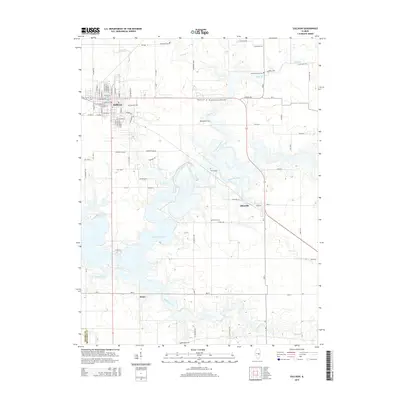
2015 Map of Sullivan
USGS Topo · Published 2015About this map
Sullivan serves as the regional hub in this 2015 study, with its grid of streets such as W Harrison St and S Main St transitioning into the rural landscape of Moultrie County. The topography is dominated by the expansive Lake Shelbyville, which follows the ancient path of the Kaskaskia River. This modern survey reveals a dense concentration of local family and institutional history, particularly through its numerous burial sites. Genealogists will find the Illinois Masonic Home Cem and the Masonic Cem near the town center, while outlying markers like Whitfield Cem and Jonathon Creek Cem denote earlier rural settlements. The landscape is deeply carved by drainage systems including Whitley Creek, Jonathan Creek, and Asa Cr, illustrating the complex hydrology that feeds the central reservoir. To the east, the village of Allenville sits near the junction of these waterways and the county line shared with Shelby County.
Find a feature on this map
91 named features on this map. Tap any name to fly to it.
Don’t see what you’re looking for? This feature index may not catch every label — zoom into the map to look around manually.
Map Details
Editions of this 2015 Sullivan Map
This is the sole edition of this map. No revisions or reprints were ever made.
Other maps of this area

1934 · Mattoon
USGS Topo · 1:62,500

1935 · Arcola
USGS Topo · 1:48,000

1935 · Sullivan
USGS Topo · 1:48,000

1937 · Mattoon
USGS Topo · 1:62,500

1940 · Sullivan
USGS Topo · 1:62,500

1940 · Arcola
USGS Topo · 1:62,500

1947 · Stewardson
USGS Topo · 1:62,500

1949 · Stewardson
USGS Topo · 1:62,500

1958 · Decatur
USGS Topo · 1:250,000

1961 · Decatur
USGS Topo · 1:250,000