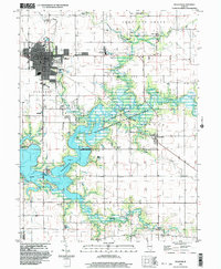
2024 Map of Sullivan
USGS Topo · Published 2024About this map
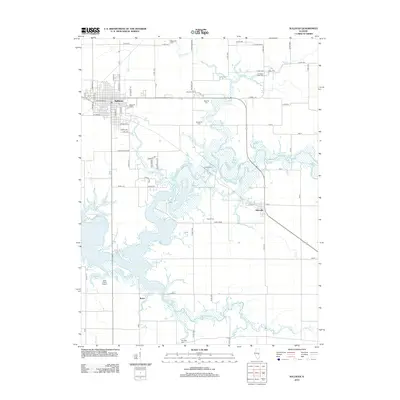
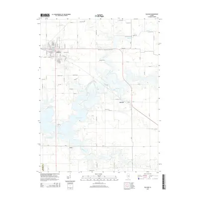
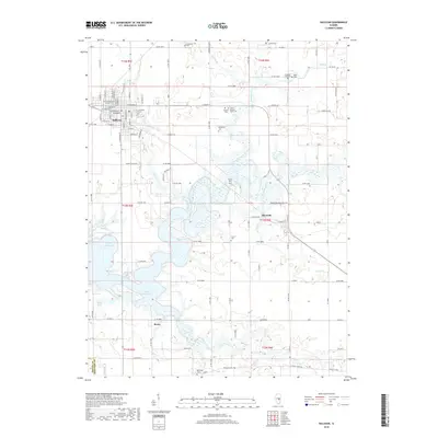
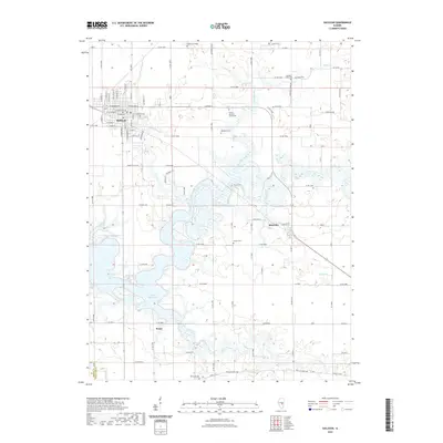
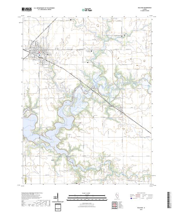
The Moultrie County Courthouse stands at the heart of Sullivan, anchoring a landscape where the grid of the Illinois prairie meets the irregular shoreline of Lake Shelbyville. To the east, the village of Allenville marks the transition toward the Kaskaskia River valley, while Bruce sits to the south. This modern survey reveals a dense network of local history through its preservation of numerous family and community burial grounds, such as Hagerman Cem, Jonathan Creek Cem, and Greenhill Cem. The area is defined by the convergence of several waterways, including Asa Creek, Whitley Creek, and Wolf Creek, which feed into the large reservoir. Transportation routes like Whitley Point Rd and Country Club Dr connect these small settlements and agricultural tracts, providing a contemporary view of this central Illinois region.
Find a feature on this map
58 named features on this map. Tap any name to fly to it.
Don’t see what you’re looking for? This feature index may not catch every label — zoom into the map to look around manually.
Map Details
Editions of this 2024 Sullivan Map
This is the sole edition of this map. No revisions or reprints were ever made.
Historical Maps of Sullivan Through Time
9 maps found