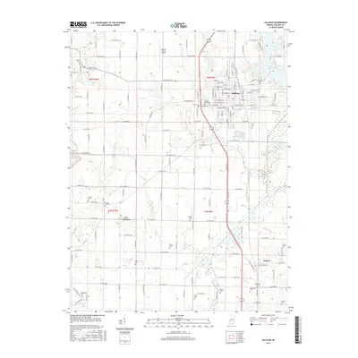
2016 Map of Sullivan
USGS Topo · Published 2016About this map
Sullivan's established street grid and residential expansion anchor this 2016 survey, reflecting the city's role as a regional center in western Indiana. To the south, the smaller settlements of New Lebanon and Paxton maintain their distinct footprints amidst a landscape defined by agricultural drainage and tributary networks. This area is notably characterized by an extensive system of rural burial grounds, including the historic Center Ridge Cem, Mount Zion Cem, and Providence Cem, which serve as vital markers for local genealogical research. The terrain is structured by the winding courses of Busseron Creek and Buttermilk Cr, while the Sullivan County Airport and the trace of the Old Buffalo Trl reflect the evolution of transportation from early pioneer paths to modern aviation infrastructure north of Lake Sullivan.
Find a feature on this map
81 named features on this map. Tap any name to fly to it.
Don’t see what you’re looking for? This feature index may not catch every label — zoom into the map to look around manually.
Map Details
Editions of this 2016 Sullivan Map
This is the sole edition of this map. No revisions or reprints were ever made.
Other maps of this area

1917 · Birds
USGS Topo · 1:62,500

1942 · Fairbanks
USGS Topo · 1:24,000

1942 · Shelburn
USGS Topo · 1:24,000

1942 · Birds
USGS Topo · 1:62,500

1943 · Merom
USGS Topo · 1:24,000

1943 · Hymera
USGS Topo · 1:24,000

1943 · Carlisle
USGS Topo · 1:24,000

1943 · Sullivan
USGS Topo · 1:24,000

1943 · Dugger
USGS Topo · 1:24,000

1944 · Bucktown
USGS Topo · 1:24,000