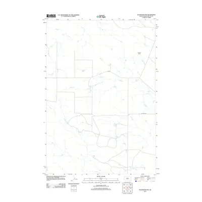
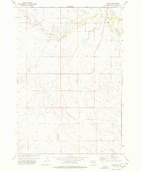
2012 Map of Sulphur Butte
USGS Topo · Published 2012About this map
Sulphur Butte rises as a prominent landmark in this northern section of Butte County, anchoring a landscape defined by an intricate network of drainage channels. This 2012 survey reveals a sparse rangeland environment where seasonal watercourses like Sulphur Cr and Lonetree Cr dictate the layout of local travel and land use. The presence of several smaller tributaries, including Frog Cr and Hans Cr, suggests a terrain shaped by erosion and intermittent flow, characteristic of the western South Dakota plains.
Find a feature on this map
9 named features on this map. Tap any name to fly to it.
Don’t see what you’re looking for? This feature index may not catch every label — zoom into the map to look around manually.
Map Details
Editions of this 2012 Sulphur Butte Map
This is the sole edition of this map. No revisions or reprints were ever made.
Other maps of this area

1913 · Newell
USGS Topo · 1:125,000

1935 · Hoover
USGS Topo · 1:125,000

1953 · Rapid City
USGS Topo · 1:250,000

1954 · Lemmon
USGS Topo · 1:250,000

1957 · Lemmon
USGS Topo · 1:250,000

1957 · Rapid City
USGS Topo · 1:250,000
1973 · Deers Ears Butte North
USGS Topo · 1:24,000
1973 · Owl Butte
USGS Topo · 1:24,000
1973 · Haystack Butte
USGS Topo · 1:24,000
1977 · Hoover
USGS Topo · 1:24,000