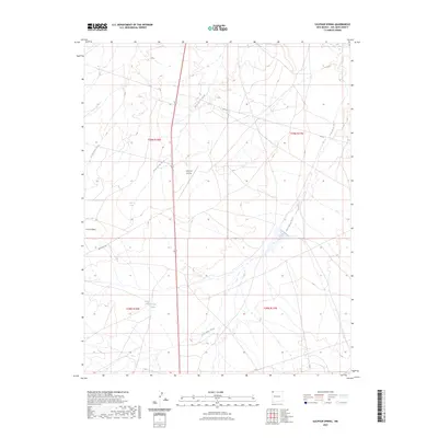
2023 Map of Sulphur Spring
USGS Topo · Published 2023About this map
Sulphur Spring and Stinking Springs are vital hydrological markers in this arid stretch of San Juan County, illustrating the sparse but critical water sources that defined settlement and travel patterns in northwestern New Mexico. The landscape is dominated by a complex network of ephemeral drainages, including the aptly named Many Devils Wash, Dead Mans Wash, and Rattlesnake Wash. These seasonal waterways converge and diverge across the terrain, shaping the routes of modern thoroughfares like Hwy 36 and the Red Rock Hwy.
Find a feature on this map
14 named features on this map. Tap any name to fly to it.
Don’t see what you’re looking for? This feature index may not catch every label — zoom into the map to look around manually.
Map Details
Editions of this 2023 Sulphur Spring Map
This is the sole edition of this map. No revisions or reprints were ever made.
Other maps of this area

1889 · Chaco
USGS Topo · 1:250,000

1892 · Chaco
USGS Topo · 1:250,000

1927 · Sulphur Spring
USGS Topo · 1:96,000

1928 · Kirtland
USGS Topo · 1:125,000

1932 · Kirtland
USGS Topo · 1:125,000

1934 · Ship Rock
USGS Topo · 1:62,500

1934 · Chimney Rock
USGS Topo · 1:62,500

1934 · Rattlesnake
USGS Topo · 1:62,500

1936 · Chimney Rock
USGS Topo · 1:62,500

1937 · Ship Rock
USGS Topo · 1:62,500