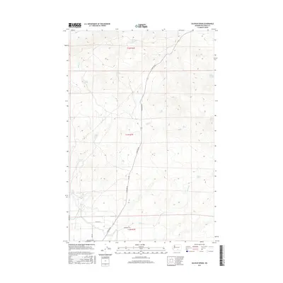
2017 Map of Sulphur Spring
USGS Topo · Published 2017About this map
Sulphur Spring and a network of high-desert water sources define this arid landscape within Yakima County. The terrain is characterized by steep contours and the prominent Washout drainage, where intermittent flow supports a series of named springs including Buck Camp Spring, Bailey Spring, and Lozier Spring. This 2017 survey reveals a sparsely populated region primarily accessed by a grid of rural corridors such as N Hanford Rd and Erickson Rd.
Find a feature on this map
22 named features on this map. Tap any name to fly to it.
Don’t see what you’re looking for? This feature index may not catch every label — zoom into the map to look around manually.
Map Details
Editions of this 2017 Sulphur Spring Map
This is the sole edition of this map. No revisions or reprints were ever made.
Other maps of this area

1910 · Zillah
USGS Topo · 1:125,000

1915 · Prosser
USGS Topo · 1:125,000

1917 · Priest Rapids
USGS Topo · 1:62,500

1917 · Prosser
USGS Topo · 1:125,000

1936 · Hog Ranch Buttes
USGS Topo · 1:48,000

1941 · Black Rock Spring
USGS Topo · 1:62,500

1948 · Cairn Hope Peak
USGS Topo · 1:24,000

1948 · Emerson Nipple
USGS Topo · 1:24,000

1950 · Yakima
USGS Topo · 1:250,000

1950 · Grandview
USGS Topo · 1:62,500