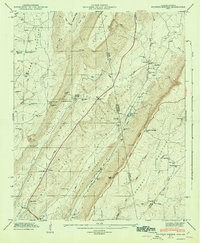
1947 Map of Sulphur Springs
USGS Topo · Published 1947About this map
Sulphur Springs and the surrounding valley settlements define this post-war landscape along the border of Alabama and Georgia. The terrain is characterized by the prominent ridges of Sand Mountain and Lookout Mountain, which hem in the narrow valleys where communities like Battelle and Cloverdale took root. The Southern Railroad serves as a primary transit corridor, cutting through the valley floor and connecting small whistle-stops and industrial sites like Amos Mill.
Find a feature on this map
55 named features on this map. Tap any name to fly to it.
Don’t see what you’re looking for? This feature index may not catch every label — zoom into the map to look around manually.
Map Details
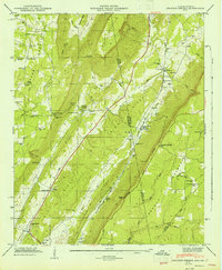
Editions of this 1947 Sulphur Springs Map
2 editions found
Other maps of this area

1886 · Ringgold
USGS Topo · 1:125,000

1886 · Stevenson
USGS Topo · 1:125,000

1892 · Ringgold
USGS Topo · 1:125,000

1892 · Stevenson
USGS Topo · 1:125,000

1895 · Stevenson
USGS Topo · 1:125,000

1935 · Durham
USGS Topo · 1:24,000

1936 · Trenton
USGS Topo · 1:24,000

1936 · Ider
USGS Topo · 1:24,000

1936 · Flat Rock
USGS Topo · 1:24,000

1936 · Dugout Valley
USGS Topo · 1:24,000