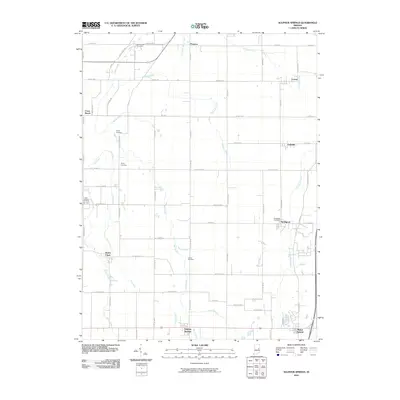
2010 Map of Sulphur Springs
USGS Topo · Published 2010About this map
Sulphur Springs anchors this agricultural landscape in Henry County, where small rural hubs are connected by a rigorous grid of section-line roads. The area is defined by its numerous small drainage systems, including Sulphur Drain and Fall Creek, which reveal the naturally undulating topography of the region. Local history is deeply embedded in the land through family and community cemeteries such as Sunderland Cemetery and Bethel Cemetery, often located near crossroads or subtle stream bends.
Find a feature on this map
51 named features on this map. Tap any name to fly to it.
Don’t see what you’re looking for? This feature index may not catch every label — zoom into the map to look around manually.
Map Details
Editions of this 2010 Sulphur Springs Map
This is the sole edition of this map. No revisions or reprints were ever made.
Other maps of this area

1949 · New Castle West
USGS Topo · 1:24,000

1950 · New Castle East
USGS Topo · 1:24,000

1952 · Muncie East
USGS Topo · 1:24,000

1952 · Muncie West
USGS Topo · 1:24,000

1953 · Cincinnati
USGS Topo · 1:250,000

1953 · Muncie
USGS Topo · 1:250,000

1956 · Muncie
USGS Topo · 1:250,000

1957 · Cincinnati
USGS Topo · 1:250,000

1960 · Gilman
USGS Topo · 1:24,000

1960 · New Castle West
USGS Topo · 1:24,000