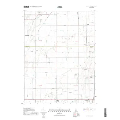
2019 Map of Sulphur Springs
USGS Topo · Published 2019About this map
Sulphur Springs and Springport anchor this rural landscape along the boundary of Delaware and Henry Counties. The terrain is defined by a dense network of small watercourses and drainage systems, including Peckinpaugh Ditch, Bell Cr, and Little Buck Cr, which reflect the region's agricultural character and managed waterways. Small settlements like Honey Creek, Oakville, and Cowan are connected by a regular grid of county roads, showing the persistent late-20th-century settlement pattern of East Central Indiana.
Find a feature on this map
68 named features on this map. Tap any name to fly to it.
Don’t see what you’re looking for? This feature index may not catch every label — zoom into the map to look around manually.
Map Details
Editions of this 2019 Sulphur Springs Map
This is the sole edition of this map. No revisions or reprints were ever made.
Other maps of this area

1949 · New Castle West
USGS Topo · 1:24,000

1950 · New Castle East
USGS Topo · 1:24,000

1952 · Muncie East
USGS Topo · 1:24,000

1952 · Muncie West
USGS Topo · 1:24,000

1953 · Cincinnati
USGS Topo · 1:250,000

1953 · Muncie
USGS Topo · 1:250,000

1956 · Muncie
USGS Topo · 1:250,000

1957 · Cincinnati
USGS Topo · 1:250,000

1960 · Gilman
USGS Topo · 1:24,000

1960 · New Castle West
USGS Topo · 1:24,000