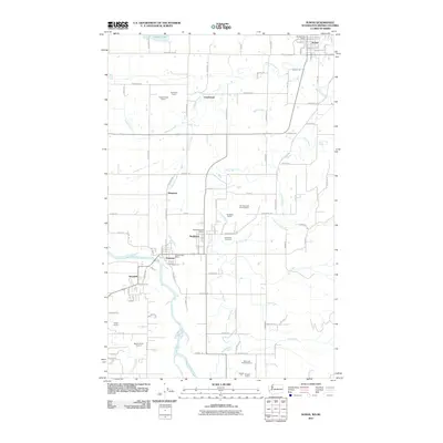
2011 Map of Sumas
USGS Topo · Published 2011About this map
The Sumas River and Nooksack River define the hydrologic character of this borderland region in Whatcom County. Near the northern margin, the settlement of Sumas serves as a primary hub, situated just south of the international boundary near Judson Lake. The landscape is a network of agricultural plots and industrial operations, evidenced by numerous extractive sites such as the Hoy Sand and Gravel Quarry, Singer Quarry, and the Siper and Heutink Quarry.
Find a feature on this map
91 named features on this map. Tap any name to fly to it.
Don’t see what you’re looking for? This feature index may not catch every label — zoom into the map to look around manually.
Map Details
Editions of this 2011 Sumas Map
This is the sole edition of this map. No revisions or reprints were ever made.
Other maps of this area

1906 · Sumas
USGS Topo · 1:62,500

1908 · Sumas
USGS Topo · 1:62,500

1919 · Van Zandt
USGS Topo · 1:62,500

1951 · Van Zandt
USGS Topo · 1:62,500

1952 · Lynden
USGS Topo · 1:24,000

1952 · Lawrence
USGS Topo · 1:24,000

1952 · Sumas
USGS Topo · 1:24,000

1954 · Bellingham North
USGS Topo · 1:24,000

1954 · Lynden
USGS Topo · 1:62,500

1957 · Victoria
USGS Topo · 1:250,000