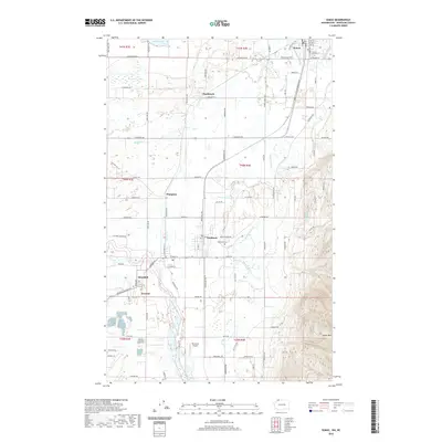
2020 Map of Sumas
USGS Topo · Published 2020About this map
Sumas sits at the northern edge of this 2020 landscape, where the international border meets the Sumas River. The map details a corridor of agriculture and small settlements stretching south toward Everson and Nooksack. This area is defined by its complex hydrology, featuring numerous named waterways like Johnson Cr and Breckenridge Cr that drain the flats between the river and the rising slopes of Sumas Mtn.
Find a feature on this map
94 named features on this map. Tap any name to fly to it.
Don’t see what you’re looking for? This feature index may not catch every label — zoom into the map to look around manually.
Map Details
Editions of this 2020 Sumas Map
This is the sole edition of this map. No revisions or reprints were ever made.
Other maps of this area

1906 · Sumas
USGS Topo · 1:62,500

1908 · Sumas
USGS Topo · 1:62,500

1919 · Van Zandt
USGS Topo · 1:62,500

1951 · Van Zandt
USGS Topo · 1:62,500

1952 · Lynden
USGS Topo · 1:24,000

1952 · Lawrence
USGS Topo · 1:24,000

1952 · Sumas
USGS Topo · 1:24,000

1954 · Bellingham North
USGS Topo · 1:24,000

1954 · Lynden
USGS Topo · 1:62,500

1957 · Victoria
USGS Topo · 1:250,000