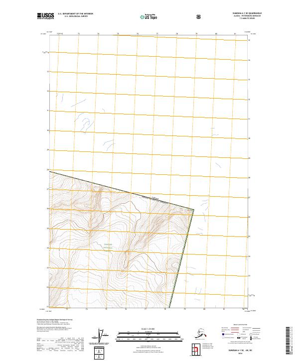
2024 Map of Sumdum A-1 SE
USGS Topo · Published 2024About this map
Kates Needle towers over this remote borderland where the Pacific Northwest meets the interior, marking a sharp topographic divide along the Canada United States of America boundary. The southern portion of the sheet is dominated by the high-elevation protected lands of the Stikine-Leconte Wilderness and the Tongass National Forest, characterized by steep glaciated terrain and dramatic relief. Because this area remains largely untouched by infrastructure, the map serves as a primary record of the international boundary line as it traverses these peaks, providing essential context for the shared wilderness management between Alaska and British Columbia.
Find a feature on this map
4 named features on this map. Tap any name to fly to it.
Don’t see what you’re looking for? This feature index may not catch every label — zoom into the map to look around manually.
Map Details
Editions of this 2024 Sumdum A-1 SE Map
This is the sole edition of this map. No revisions or reprints were ever made.
Other maps of this area

1951 · Bradfield Canal
USGS Topo · 1:250,000

1952 · Petersburg
USGS Topo · 1:250,000

1952 · Sumdum
USGS Topo · 1:250,000

1954 · Bradfield Canal
USGS Topo · 1:250,000

1955 · Bradfield canal D-6
USGS Topo · 1:63,360

1955 · Bradfield Canal
USGS Topo · 1:250,000

1960 · Petersburg
USGS Topo · 1:250,000

1960 · Sumdum A-1
USGS Topo · 1:63,360

1961 · Petersburg D-1
USGS Topo · 1:63,360

1961 · Sumdum
USGS Topo · 1:250,000