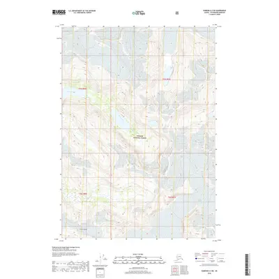
2018 Map of Sumdum A-2 SW
USGS Topo · Published 2018About this map
Baird Glacier and Patterson Glacier dominate the northern and eastern reaches of this high-altitude landscape in the Tongass National Forest. The map documents a classic glacial environment where drainage systems like Cascade Cr and Scenery Creek are fed by permanent ice fields. The central valley is anchored by Scenery Lake, a major hydrologic feature nestled below the southern heights of the Cosmos Range. This 2018 survey provides a precise record of ice margins and alpine hydrology, illustrating the complex relationship between active glaciation and the carved valleys of southeastern Alaska.
Find a feature on this map
12 named features on this map. Tap any name to fly to it.
Don’t see what you’re looking for? This feature index may not catch every label — zoom into the map to look around manually.
Map Details
Editions of this 2018 Sumdum A-2 SW Map
This is the sole edition of this map. No revisions or reprints were ever made.
Other maps of this area

1952 · Petersburg
USGS Topo · 1:250,000

1952 · Sumdum
USGS Topo · 1:250,000

1960 · Petersburg
USGS Topo · 1:250,000

1961 · Sumdum A-2
USGS Topo · 1:63,360

1961 · Petersburg D-3
USGS Topo · 1:63,360

1961 · Sumdum A-3
USGS Topo · 1:63,360

1961 · Petersburg D-2
USGS Topo · 1:63,360

1961 · Sumdum
USGS Topo · 1:250,000

1994 · Petersburg D-2
USGS Topo · 1:63,360
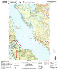
1995 · Petersburg D-3
USGS Topo · 1:63,360