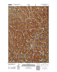
2011 Map of Summerfield Ridge
USGS Topo · Published 2011About this map
Summerfield Ridge dominates the skyline of this high-plateau drainage system in Morrow County during the early 21st century. The landscape is defined by an intricate network of narrow canyons and descending forks that feed into the prominent Rhea Creek basin. These seasonal and perennial waterways, including Skinners Fork and Rutabaga Creek, carve deep into the terrain, creating isolated landforms like Carmichael Canyon and Hunt Canyon.
Find a feature on this map
21 named features on this map. Tap any name to fly to it.
Don’t see what you’re looking for? This feature index may not catch every label — zoom into the map to look around manually.
Map Details
Editions of this 2011 Summerfield Ridge Map
This is the sole edition of this map. No revisions or reprints were ever made.
Other maps of this area

1953 · Pendleton
USGS Topo · 1:250,000

1956 · Pendleton
USGS Topo · 1:250,000

1967 · Freezeout Ridge
USGS Topo · 1:24,000

1968 · Heppner
USGS Topo · 1:24,000

1968 · Skinners Fork
USGS Topo · 1:24,000

1969 · Summerfield Ridge
USGS Topo · 1:24,000

1969 · Lake Penland
USGS Topo · 1:24,000

1969 · Arbuckle Mtn
USGS Topo · 1:24,000

1969 · Madison Butte
USGS Topo · 1:24,000

1969 · Big Rock Flat
USGS Topo · 1:24,000