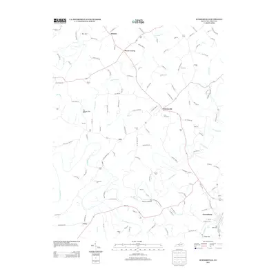
2013 Map of Summersville
USGS Topo · Published 2013About this map
The Green River and Big Pitman Cr carve a winding course through Green County, Kentucky, defining a landscape where rural hamlets and family cemeteries remain central to the community fabric. In this 2013 survey, small settlements such as Summersville, Gabe, and Bloyds Crossing serve as intersection points for a dense network of local roads like Grassy Flat Rd and Elmore Hodges Rd. The terrain is marked by distinctive geological features, including The Sinks of Little Brush and the sharp meanders of The Narrows of Pitman. Near the southern edge of the map, the county seat of Greensburg sits above the river, where industrial traces like an Oil Well Hole and the landmark known as The Drip meet the water. Numerous family burial grounds, such as Vance Cem and Chaudoin Cem, are scattered throughout the agricultural uplands.
Find a feature on this map
126 named features on this map. Tap any name to fly to it.
Don’t see what you’re looking for? This feature index may not catch every label — zoom into the map to look around manually.
Map Details
Editions of this 2013 Summersville Map
This is the sole edition of this map. No revisions or reprints were ever made.
Other maps of this area

1953 · Saloma
USGS Topo · 1:24,000

1953 · Hudgins
USGS Topo · 1:24,000

1953 · Hibernia
USGS Topo · 1:24,000

1953 · Summersville
USGS Topo · 1:24,000

1953 · Exie
USGS Topo · 1:24,000

1953 · Magnolia
USGS Topo · 1:24,000

1953 · Gresham
USGS Topo · 1:24,000

1953 · Center
USGS Topo · 1:24,000

1954 · Greensburg
USGS Topo · 1:24,000

1957 · Winchester
USGS Topo · 1:250,000