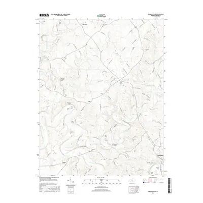
2016 Map of Summersville
USGS Topo · Published 2016About this map
The Green River carves a dramatic path through this central Kentucky landscape, defining a series of sharp meanders such as Horse Shoe Bend and Akin Bend. To the north, the terrain is shaped by the subterranean activity of The Sinks of Little Brush and the outflow at Factory Spring. The settlement pattern is largely rural and dispersed among several small communities including Summersville, Allendale, and Gabe, with the edge of Greensburg visible in the southeast. Numerous family cemeteries are scattered across the quadrangle, including Vance Cem, Chaudoin Cem, and Milby Cem, providing a dense record of local heritage. Transport is facilitated by an intricate network of local roads such as Grassy Flat Rd and Skaggs-Dobson Rd, while the convergence of Big Pitman Creek and the river creates distinctive landforms like The Narrows of Pitman.
Find a feature on this map
111 named features on this map. Tap any name to fly to it.
Don’t see what you’re looking for? This feature index may not catch every label — zoom into the map to look around manually.
Map Details
Editions of this 2016 Summersville Map
This is the sole edition of this map. No revisions or reprints were ever made.
Other maps of this area

1953 · Saloma
USGS Topo · 1:24,000

1953 · Hudgins
USGS Topo · 1:24,000

1953 · Hibernia
USGS Topo · 1:24,000

1953 · Summersville
USGS Topo · 1:24,000

1953 · Exie
USGS Topo · 1:24,000

1953 · Magnolia
USGS Topo · 1:24,000

1953 · Gresham
USGS Topo · 1:24,000

1953 · Center
USGS Topo · 1:24,000

1954 · Greensburg
USGS Topo · 1:24,000

1957 · Winchester
USGS Topo · 1:250,000