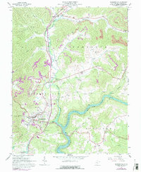
1967 Map of Summersville
USGS Topo · Published 1977About this map
Summersville serves as the focal point of this Nicholas County landscape, shown here at a time of significant transition with the presence of the Summersville Lake reservoir. The impounded waters of the Gauley River dominate the southern half of the sheet, while the northern terrain is heavily marked by industrial extraction. Numerous strip mines and associated tipples underscore the region's coal-based economy, particularly around Kirkwood and Hookersville.
Find a feature on this map
54 named features on this map. Tap any name to fly to it.
Don’t see what you’re looking for? This feature index may not catch every label — zoom into the map to look around manually.
Map Details
Editions of this 1967 Summersville Map
2 editions found
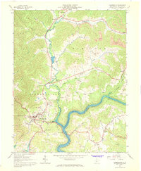
Other maps of this area

1889 · Nicholas
USGS Topo · 1:125,000

1891 · Nicholas
USGS Topo · 1:125,000

1901 · Nicholas
USGS Topo · 1:125,000

1913 · Summersville
USGS Topo · 1:48,000

1914 · Winona
USGS Topo · 1:48,000

1915 · Cowen
USGS Topo · 1:48,000
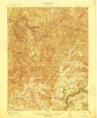
1915 · Summersville
USGS Topo · 1:62,500

1916 · Winona
USGS Topo · 1:62,500

1917 · Cowen
USGS Topo · 1:62,500

1918 · Richwood
USGS Topo · 1:62,500