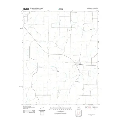
2011 Map of Summersville
USGS Topo · Published 2011About this map
Summersville serves as the central hub of this Missouri landscape, where local roads like Factory Rd and Ranch Rd connect the town to the surrounding countryside. The terrain is defined by a network of drainage systems, including Spring Valley Creek and Casto Valley Creek, which wind through features such as Dirt House Hollow and the intriguing topographic depression known as The Drop-in.
Find a feature on this map
47 named features on this map. Tap any name to fly to it.
Don’t see what you’re looking for? This feature index may not catch every label — zoom into the map to look around manually.
Map Details
Editions of this 2011 Summersville Map
This is the sole edition of this map. No revisions or reprints were ever made.
Other maps of this area

1932 · Cedar Grove
USGS Topo · 1:48,000

1945 · Clear Springs
USGS Topo · 1:62,500

1946 · Summersville
USGS Topo · 1:62,500

1948 · Clear Springs
USGS Topo · 1:62,500

1948 · Summersville
USGS Topo · 1:62,500

1949 · Rolla
USGS Topo · 1:250,000

1951 · Raymondville
USGS Topo · 1:24,000
1951 · Lewis Hollow
USGS Topo · 1:24,000
1951 · Hartshorn
USGS Topo · 1:24,000

1951 · Raymondville
USGS Topo · 1:62,500