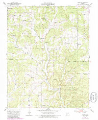
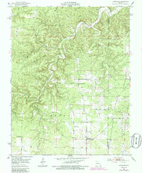
1951 Map of Hartshorn
USGS Topo · Published 1952About this map
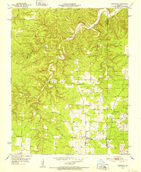
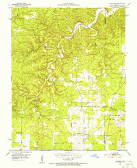
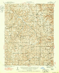
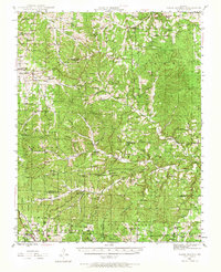
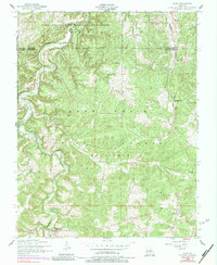
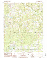
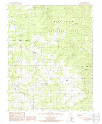
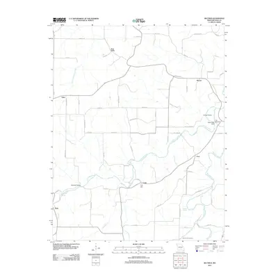
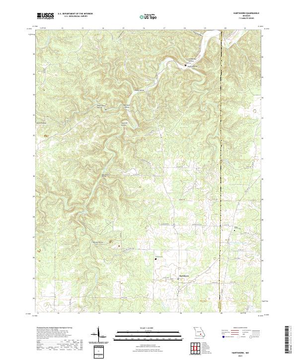
Hartshorn stands as the central settlement in this early 1950s survey of the Ozark highlands, situated along Route K. The landscape is defined by the winding course of the Current River and its many tributaries, including Big Creek and South Fork Black Valley Creek. This era of the Ozarks reveals a community structure rooted in small local institutions, evidenced by a network of rural schools such as Round Valley Sch, Pine Flats Sch, and Nile Sch.
Find a feature on this map
26 named features on this map. Tap any name to fly to it.
Don’t see what you’re looking for? This feature index may not catch every label — zoom into the map to look around manually.
Map Details
Editions of this 1951 Hartshorn Map
4 editions found

Historical Maps of Nile Through Time
108 maps found

1941 Bado
Texas County, MO
1943 Bado
Texas County, MO
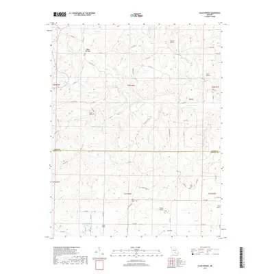
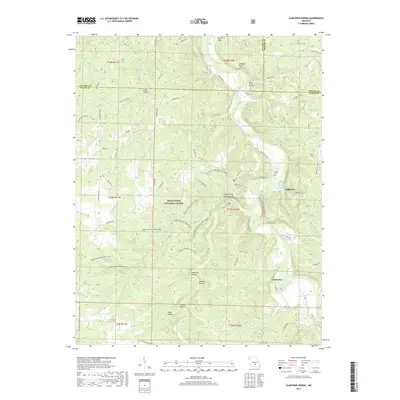
1945 Clear Springs
Texas County, MO

1948 Clear Springs
Texas County, MO
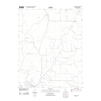
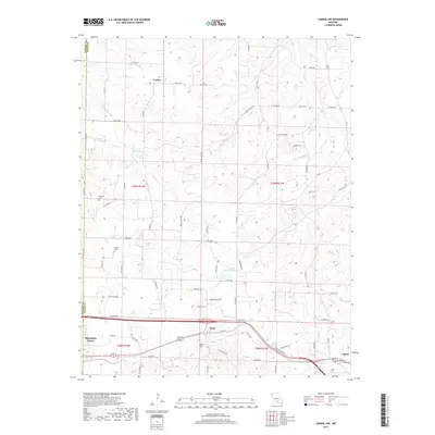
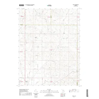
1950 Cabool SW
Texas County, MO
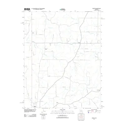
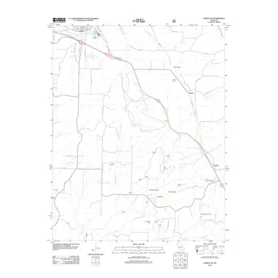
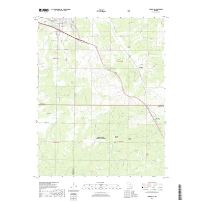
1951 Cabool NE
Texas County, MO
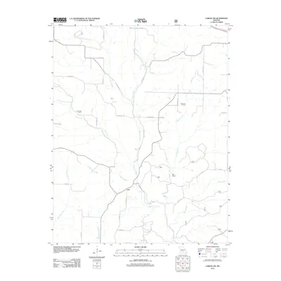
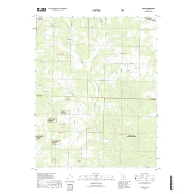
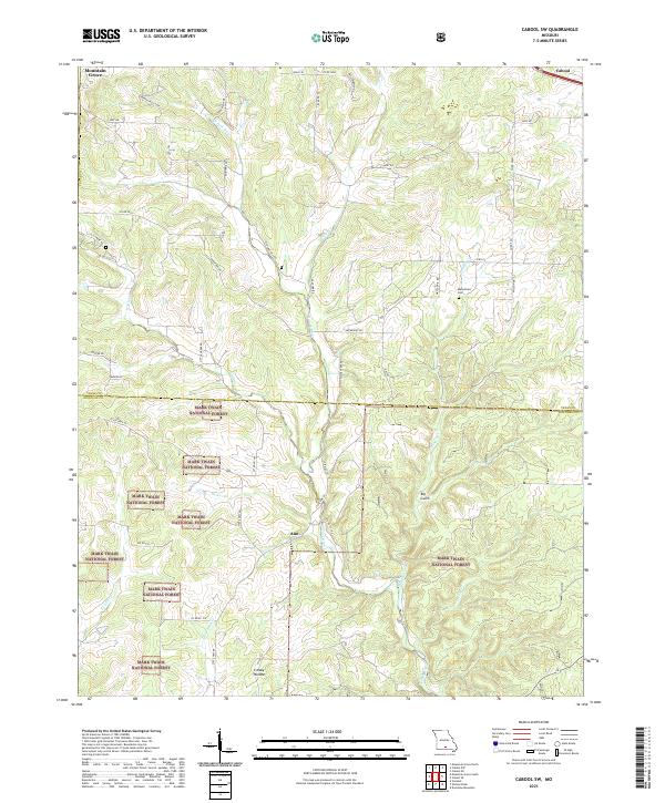
1951 Cabool NW
Texas County, MO
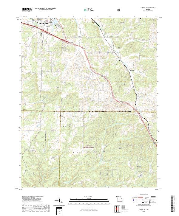
1951 Cabool SE
Texas County, MO
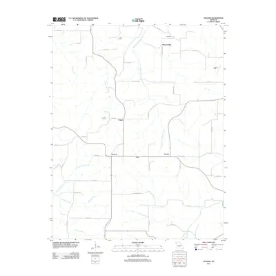
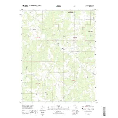
1951 Hartshorn
Texas County, MO
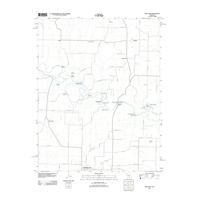
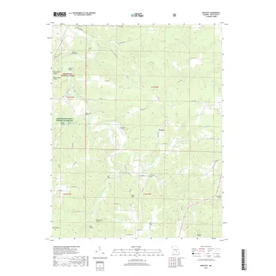
1951 Prescott
Texas County, MO
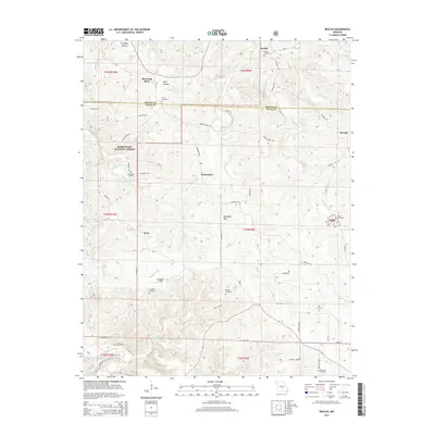
1954 Beulah
Texas County, MO
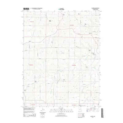
1954 Maples
Texas County, MO
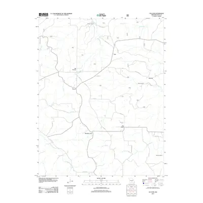
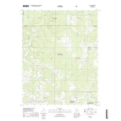
1954 Roby
Texas County, MO
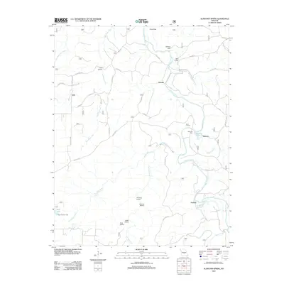
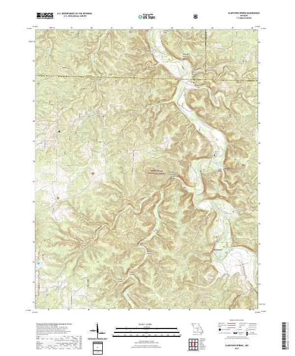
1954 Slabtown Spring
Texas County, MO
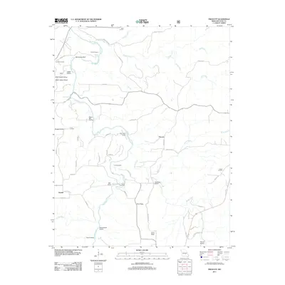
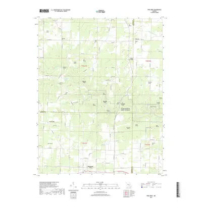
1968 Pine Crest
Texas County, MO
1987 Bucyrus
Texas County, MO
1987 Clear Springs
Texas County, MO
1987 Elk Creek
Texas County, MO
1987 Eunice
Texas County, MO
1987 Huggins
Texas County, MO

1987 Roubidoux
Texas County, MO
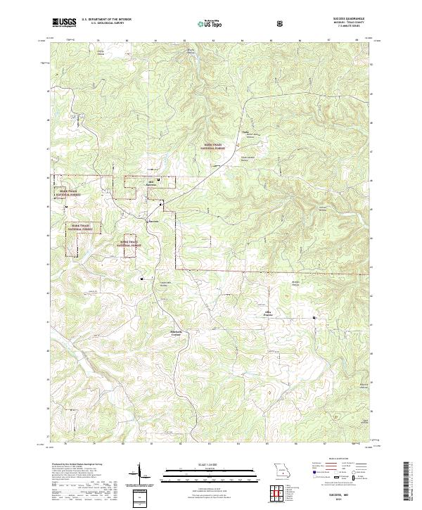
1987 Success
Texas County, MO
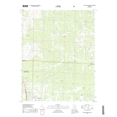
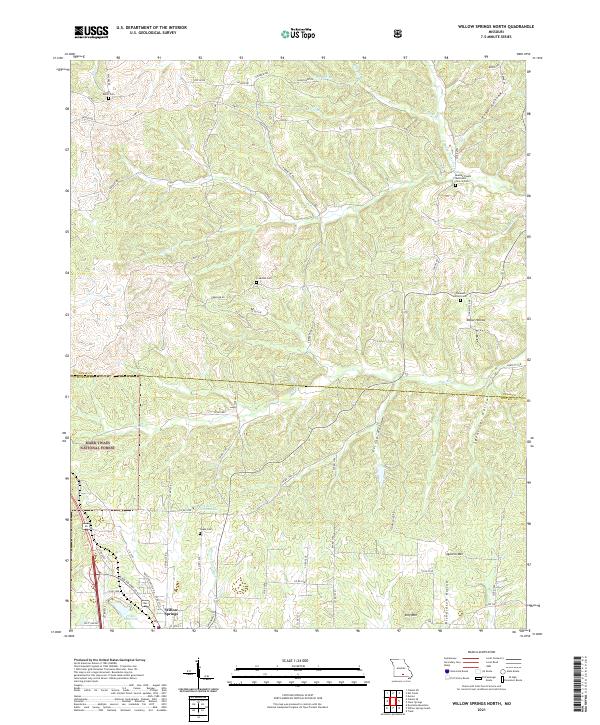
1987 Willow Springs North
Texas County, MO

2004 Beulah
Texas County, MO

2004 Cabool SE
Texas County, MO

2004 Cabool SW
Texas County, MO
2004 Prescott
Texas County, MO

2004 Roby
Texas County, MO

2004 Roubidoux
Texas County, MO

2004 Slabtown Spring
Texas County, MO
2004 Success
Texas County, MO

2004 Willow Springs North
Texas County, MO
2011 Beulah
Texas County, MO
2011 Cabool NW
Texas County, MO
2011 Elk Creek
Texas County, MO
2011 Eunice
Texas County, MO
2011 Huggins
Texas County, MO
2011 Maples
Texas County, MO
2011 Pine Crest
Texas County, MO
2011 Prescott
Texas County, MO
2012 Bucyrus
Texas County, MO
2012 Cabool NE
Texas County, MO
2012 Cabool SE
Texas County, MO
2012 Cabool SW
Texas County, MO
2012 Clear Springs
Texas County, MO
2012 Hartshorn
Texas County, MO
2012 Roby
Texas County, MO
2012 Roubidoux
Texas County, MO
2012 Slabtown Spring
Texas County, MO
2012 Success
Texas County, MO

2012 Willow Springs North
Texas County, MO
2015 Beulah
Texas County, MO
2015 Bucyrus
Texas County, MO
2015 Cabool NE
Texas County, MO
2015 Cabool NW
Texas County, MO
2015 Cabool SE
Texas County, MO
2015 Cabool SW
Texas County, MO
2015 Clear Springs
Texas County, MO
2015 Elk Creek
Texas County, MO
2015 Eunice
Texas County, MO
2015 Hartshorn
Texas County, MO
2015 Huggins
Texas County, MO
2015 Maples
Texas County, MO
2015 Pine Crest
Texas County, MO
2015 Prescott
Texas County, MO
2015 Roby
Texas County, MO
2015 Roubidoux
Texas County, MO
2015 Slabtown Spring
Texas County, MO
2015 Success
Texas County, MO
2015 Willow Springs North
Texas County, MO
2017 Beulah
Texas County, MO
2017 Bucyrus
Texas County, MO
2017 Cabool NE
Texas County, MO
2017 Cabool NW
Texas County, MO
2017 Cabool SE
Texas County, MO
2017 Cabool SW
Texas County, MO
2017 Clear Springs
Texas County, MO
2017 Elk Creek
Texas County, MO
2017 Eunice
Texas County, MO
2017 Hartshorn
Texas County, MO
2017 Huggins
Texas County, MO
2017 Maples
Texas County, MO
2017 Pine Crest
Texas County, MO
2017 Prescott
Texas County, MO
2017 Roby
Texas County, MO
2017 Roubidoux
Texas County, MO
2017 Slabtown Spring
Texas County, MO
2017 Success
Texas County, MO
2017 Willow Springs North
Texas County, MO
2021 Beulah
Texas County, MO
2021 Bucyrus
Texas County, MO
2021 Cabool NE
Texas County, MO
2021 Cabool NW
Texas County, MO
2021 Cabool SE
Texas County, MO
2021 Cabool SW
Texas County, MO
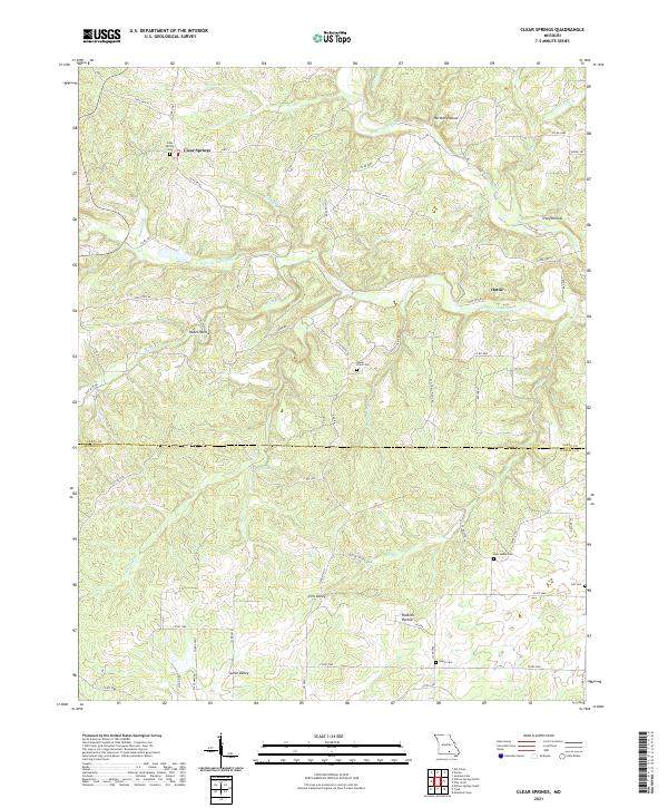
2021 Clear Springs
Texas County, MO
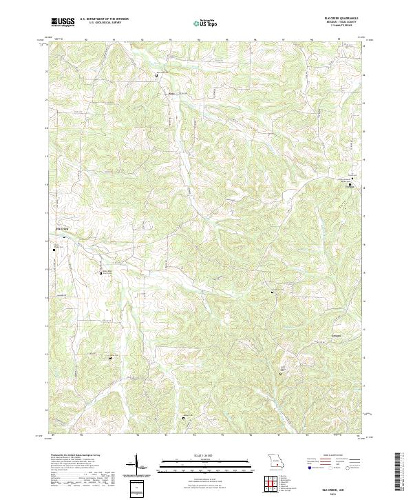
2021 Elk Creek
Texas County, MO
2021 Eunice
Texas County, MO
2021 Hartshorn
Texas County, MO
2021 Huggins
Texas County, MO
2021 Maples
Texas County, MO
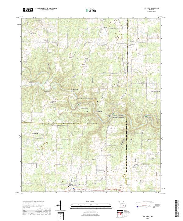
2021 Pine Crest
Texas County, MO
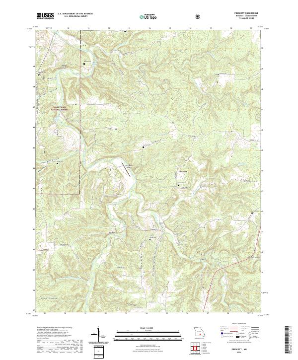
2021 Prescott
Texas County, MO
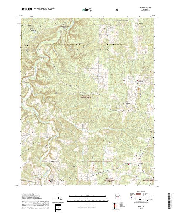
2021 Roby
Texas County, MO
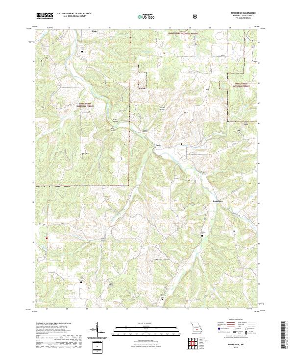
2021 Roubidoux
Texas County, MO
2021 Slabtown Spring
Texas County, MO
2021 Success
Texas County, MO
2021 Willow Springs North
Texas County, MO