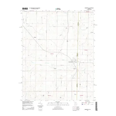
2015 Map of Summersville
USGS Topo · Published 2015About this map
Summersville serves as the primary hub of this 2015 survey, situated at the boundary of Texas and Shannon counties. The settlement is defined by its grid of local streets like Richards St and 1st St, with the Summersville Cemetery located just to the south. To the northwest, the small settlement of Midvale sits along the road network near Dry Bone Cr. The landscape is deeply carved by a network of hollows and valleys that dictate the local geography.
Find a feature on this map
70 named features on this map. Tap any name to fly to it.
Don’t see what you’re looking for? This feature index may not catch every label — zoom into the map to look around manually.
Map Details
Editions of this 2015 Summersville Map
This is the sole edition of this map. No revisions or reprints were ever made.
Other maps of this area

1932 · Cedar Grove
USGS Topo · 1:48,000

1945 · Clear Springs
USGS Topo · 1:62,500

1946 · Summersville
USGS Topo · 1:62,500

1948 · Clear Springs
USGS Topo · 1:62,500

1948 · Summersville
USGS Topo · 1:62,500

1949 · Rolla
USGS Topo · 1:250,000

1951 · Raymondville
USGS Topo · 1:24,000
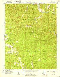
1951 · Lewis Hollow
USGS Topo · 1:24,000
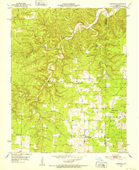
1951 · Hartshorn
USGS Topo · 1:24,000

1951 · Raymondville
USGS Topo · 1:62,500