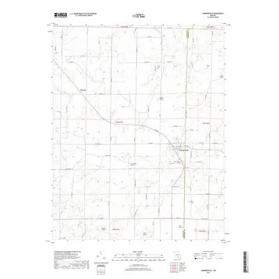
2017 Map of Summersville
USGS Topo · Published 2017About this map
Summersville sits at the intersection of local routes in this part of Missouri, serving as a central hub for the surrounding rural landscape. The topography is defined by a dense network of drainages and hollows, including Dirt House Hollow and Grassy Hollow, which carve through the terrain toward larger water bodies like Spring Valley Creek. The map documents the persistent rural character of the area, where small settlements like Midvale and family-named landmarks such as Barnes Hollow and Coon Hollow persist alongside established community spaces. Genealogists will find the locations of Summersville Cemetery, Riley Cemetery, and Pickett Cemetery particularly useful for tracing local family history. The boundary between Texas and Shannon Counties runs vertically through the eastern portion of the map, intersecting the drainage of Casto Valley Creek and the high ground at Bell Flats.
Find a feature on this map
79 named features on this map. Tap any name to fly to it.
Don’t see what you’re looking for? This feature index may not catch every label — zoom into the map to look around manually.
Map Details
Editions of this 2017 Summersville Map
This is the sole edition of this map. No revisions or reprints were ever made.
Other maps of this area

1932 · Cedar Grove
USGS Topo · 1:48,000

1945 · Clear Springs
USGS Topo · 1:62,500

1946 · Summersville
USGS Topo · 1:62,500

1948 · Clear Springs
USGS Topo · 1:62,500

1948 · Summersville
USGS Topo · 1:62,500

1949 · Rolla
USGS Topo · 1:250,000

1951 · Raymondville
USGS Topo · 1:24,000
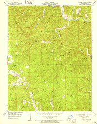
1951 · Lewis Hollow
USGS Topo · 1:24,000
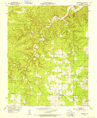
1951 · Hartshorn
USGS Topo · 1:24,000

1951 · Raymondville
USGS Topo · 1:62,500