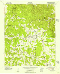
1951 Map of Summertown
USGS Topo · Published 1956About this map
Summertown and Rockdale anchor this landscape during a period of transition for Middle Tennessee transport and industry. The area is defined by the convergence of several historic transit corridors, including the Louisville and Nashville railroad and the Jackson Highway, which cuts a path through the rolling hills toward the south. Along the western edge, the Meriwether Lewis National Monument marks a significant historical landmark near the headwaters of Big Swan Creek.
Find a feature on this map
46 named features on this map. Tap any name to fly to it.
Don’t see what you’re looking for? This feature index may not catch every label — zoom into the map to look around manually.
Map Details
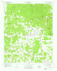
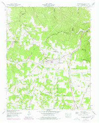
Editions of this 1951 Summertown Map
3 editions found
Other maps of this area

1901 · Colombia
USGS Topo · 1:125,000

1936 · Sandy Hook
USGS Topo · 1:24,000

1936 · Deerfield
USGS Topo · 1:24,000

1936 · Mt Joy
USGS Topo · 1:24,000

1936 · Henryville
USGS Topo · 1:24,000

1936 · Campbellsville
USGS Topo · 1:24,000

1936 · Ethridge
USGS Topo · 1:24,000

1936 · Crestview
USGS Topo · 1:24,000

1936 · Mount Pleasant
USGS Topo · 1:24,000

1936 · Gordonsburg
USGS Topo · 1:24,000