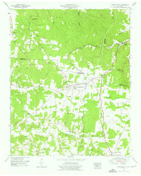
1951 Map of Summertown
USGS Topo · Published 1976About this map
Summertown serves as the central hub of this mid-century landscape where the borderlands of Lewis, Maury, and Lawrence Counties meet. The infrastructure is defined by the Louisville and Nashville Railroad and the historic Jackson Highway, which cut through a terrain of deep hollows like Wyrick Hollow and Pickard Hollow. The settlement pattern reveals a deeply rooted community of small rural schools and churches, including New Salem Sch and Pleasant Garden Church, scattered along the drainage basins of the Buffalo River and Big Swan Creek.
Find a feature on this map
46 named features on this map. Tap any name to fly to it.
Don’t see what you’re looking for? This feature index may not catch every label — zoom into the map to look around manually.
Map Details
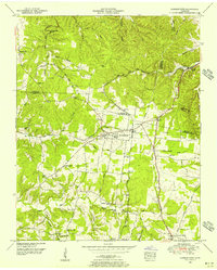
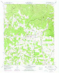
Editions of this 1951 Summertown Map
3 editions found
Other maps of this area

1901 · Colombia
USGS Topo · 1:125,000

1936 · Sandy Hook
USGS Topo · 1:24,000

1936 · Deerfield
USGS Topo · 1:24,000

1936 · Mt Joy
USGS Topo · 1:24,000

1936 · Henryville
USGS Topo · 1:24,000

1936 · Campbellsville
USGS Topo · 1:24,000

1936 · Ethridge
USGS Topo · 1:24,000

1936 · Crestview
USGS Topo · 1:24,000

1936 · Mount Pleasant
USGS Topo · 1:24,000

1936 · Gordonsburg
USGS Topo · 1:24,000