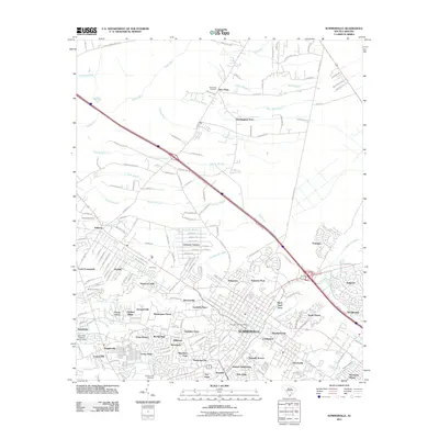
2011 Map of Summerville
USGS Topo · Published 2011About this map
The Ashley River flows through a landscape defined by rapid suburban expansion and established residential neighborhoods in this early 21st-century survey. While Summerville serves as the central hub, the map reveals a complex network of smaller developments and distinct areas such as Washington Town, Clemson Terrace, and Waring Hall. The hydrological footprint is significant, with numerous named waterways like Sawmill Branch and Rumphs Hill Creek draining the low-lying terrain, occasionally interrupted by man-made features like Dam D-2552.
Find a feature on this map
181 named features on this map. Tap any name to fly to it.
Don’t see what you’re looking for? This feature index may not catch every label — zoom into the map to look around manually.
Map Details
Editions of this 2011 Summerville Map
This is the sole edition of this map. No revisions or reprints were ever made.
Other maps of this area

1918 · Cottageville
USGS Topo · 1:62,500

1919 · Ladson
USGS Topo · 1:21,120

1919 · Summerville
USGS Topo · 1:48,000

1919 · Ridgeville
USGS Topo · 1:48,000

1920 · Ravenels
USGS Topo · 1:62,500

1920 · Ridgeville
USGS Topo · 1:62,500

1920 · Summerville
USGS Topo · 1:62,500

1943 · Cottageville
USGS Topo · 1:62,500

1943 · Ladson
USGS Topo · 1:24,000

1943 · Ridgeville
USGS Topo · 1:62,500