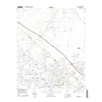
2014 Map of Summerville
USGS Topo · Published 2014About this map
The Summerville area is defined by a dense network of suburban developments and residential neighborhoods that reflect the rapid expansion within the Berkeley, Dorchester, and Charleston county lines. While modern communities like Knightsville and Trotters Ridge dominate the landscape, older land divisions and rural markers remain visible. Points of genealogical interest include several burial grounds such as Jedburg Cem, New Hope Cem, and Murray Cem, which sit alongside historic property names like Waring Hall and Tea Farm.
Find a feature on this map
236 named features on this map. Tap any name to fly to it.
Don’t see what you’re looking for? This feature index may not catch every label — zoom into the map to look around manually.
Map Details
Editions of this 2014 Summerville Map
This is the sole edition of this map. No revisions or reprints were ever made.
Other maps of this area

1918 · Cottageville
USGS Topo · 1:62,500

1919 · Ladson
USGS Topo · 1:21,120

1919 · Summerville
USGS Topo · 1:48,000

1919 · Ridgeville
USGS Topo · 1:48,000

1920 · Ravenels
USGS Topo · 1:62,500

1920 · Ridgeville
USGS Topo · 1:62,500

1920 · Summerville
USGS Topo · 1:62,500

1943 · Cottageville
USGS Topo · 1:62,500

1943 · Ladson
USGS Topo · 1:24,000

1943 · Ridgeville
USGS Topo · 1:62,500