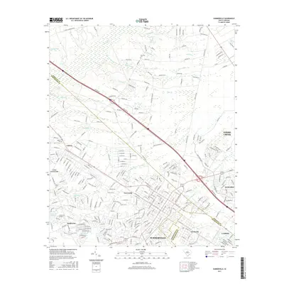
2017 Map of Summerville
USGS Topo · Published 2017About this map
Summerville and its surrounding communities are positioned at the convergence of Dorchester, Berkeley, and Charleston counties, appearing here in the late 2010s. This survey records a landscape of suburban expansion interspersed with significant wetlands and riverine systems. The Ashley River flows through the northern reaches, joined by numerous tributaries including Miller Dam Branch and Felder Branch, while the eastern edge is defined by the unique geography of Black Tom Bay. Small established settlements such as Jedburg, Lincolnville, and Knightsville remain distinct anchors amidst newer residential developments like Sangaree. Local heritage is preserved at sites like New Hope Cemetery and Jedburg Cemetery, providing essential data points for genealogists. The map also captures the complex road networks branching from Lotts Crossroads and the transit corridors connecting Goose Creek to the larger Summerville area.
Find a feature on this map
296 named features on this map. Tap any name to fly to it.
Don’t see what you’re looking for? This feature index may not catch every label — zoom into the map to look around manually.
Map Details
Editions of this 2017 Summerville Map
This is the sole edition of this map. No revisions or reprints were ever made.
Other maps of this area

1918 · Cottageville
USGS Topo · 1:62,500

1919 · Ladson
USGS Topo · 1:21,120

1919 · Summerville
USGS Topo · 1:48,000

1919 · Ridgeville
USGS Topo · 1:48,000

1920 · Ravenels
USGS Topo · 1:62,500

1920 · Ridgeville
USGS Topo · 1:62,500

1920 · Summerville
USGS Topo · 1:62,500

1943 · Cottageville
USGS Topo · 1:62,500

1943 · Ladson
USGS Topo · 1:24,000

1943 · Ridgeville
USGS Topo · 1:62,500