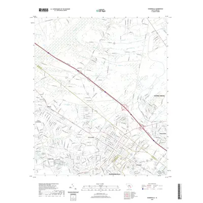
2020 Map of Summerville
USGS Topo · Published 2020About this map
Summerville and its surrounding communities sit at a busy tri-county intersection where Dorchester, Berkeley, and Charleston counties meet. The landscape is defined by the winding course of the Ashley River and its numerous tributaries, including Miller Dam Br and Sawmill Br, which historically shaped the local timber and milling economy. This modern survey illustrates the significant residential expansion branching out from the established cores of Lincolnville, Brownsville, and Knightsville, contrasting these suburban developments with the wetlands of Black Tom Bay and the higher ground of Muckenfuss Hill.
Find a feature on this map
315 named features on this map. Tap any name to fly to it.
Don’t see what you’re looking for? This feature index may not catch every label — zoom into the map to look around manually.
Map Details
Editions of this 2020 Summerville Map
This is the sole edition of this map. No revisions or reprints were ever made.
Other maps of this area

1918 · Cottageville
USGS Topo · 1:62,500

1919 · Ladson
USGS Topo · 1:21,120

1919 · Summerville
USGS Topo · 1:48,000

1919 · Ridgeville
USGS Topo · 1:48,000

1920 · Ravenels
USGS Topo · 1:62,500

1920 · Ridgeville
USGS Topo · 1:62,500

1920 · Summerville
USGS Topo · 1:62,500

1943 · Cottageville
USGS Topo · 1:62,500

1943 · Ladson
USGS Topo · 1:24,000

1943 · Ridgeville
USGS Topo · 1:62,500