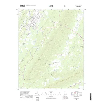
2020 Map of Summerville
USGS Topo · Published 2020About this map
Summerville serves as the focal point of this Chattooga County landscape, anchored by the Chattooga County Courthouse and the nearby Summerville Cem. The town sits at the edge of a varied terrain where the Chattooga River winds through the valley floor, buffered by the higher elevations of Taylor Ridge and Simms Mtn. The map reveals a mix of civic infrastructure and natural features, including the Chattahoochee National Forest which covers the central high ground.
Find a feature on this map
112 named features on this map. Tap any name to fly to it.
Don’t see what you’re looking for? This feature index may not catch every label — zoom into the map to look around manually.
Map Details
Editions of this 2020 Summerville Map
This is the sole edition of this map. No revisions or reprints were ever made.
Other maps of this area

1886 · Ringgold
USGS Topo · 1:125,000

1886 · Rome
USGS Topo · 1:125,000

1892 · Ringgold
USGS Topo · 1:125,000

1898 · Rome
USGS Topo · 1:125,000

1899 · Rome
USGS Topo · 1:125,000

1904 · Rome
USGS Topo · 1:125,000
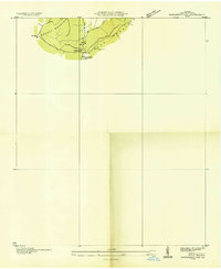
1936 · Dougherty Gap
USGS Topo · 1:24,000
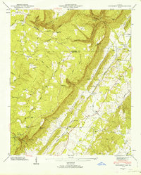
1946 · Dougherty Gap
USGS Topo · 1:24,000
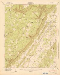
1947 · Dougherty Gap
USGS Topo · 1:24,000

1955 · Rome
USGS Topo · 1:250,000