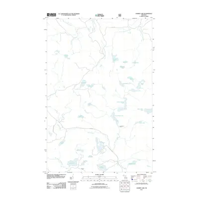
2011 Map of Summit Lake
USGS Topo · Published 2011About this map
Craig Lake State Park anchors the southwestern corner of this wilderness landscape in L'Anse Township, where the headwaters of the Peshekee River and the West Branch Huron River divide the drainage toward Lake Michigan and Lake Superior. The terrain is characterized by an extensive network of glacially formed lakes, including the central Upper Baraga Lake and Lower Baraga Lake, which are linked by Baraga Creek. Transportation into this interior region is limited to seasonal routes like the Peshekee Grade and Triple A Rd, reflecting the remote character of Baraga County's highlands. Scattered landmarks such as Boniface Camp and the Lower Baraga Lake Trail indicate the area's use for recreational outposts and portage routes. This 2011 survey captures the hydrological complexity of the Michigamme Highlands, featuring notable water bodies like Summit Lake, Lake Arfelin, and the isolated White Deer Lake.
Find a feature on this map
37 named features on this map. Tap any name to fly to it.
Don’t see what you’re looking for? This feature index may not catch every label — zoom into the map to look around manually.
Map Details
Editions of this 2011 Summit Lake Map
This is the sole edition of this map. No revisions or reprints were ever made.
Other maps of this area

1954 · Huron Mountain
USGS Topo · 1:62,500

1954 · Skanee
USGS Topo · 1:62,500

1955 · Champion
USGS Topo · 1:24,000

1955 · Champion
USGS Topo · 1:62,500

1956 · Three Lakes
USGS Topo · 1:24,000

1956 · Michigamme
USGS Topo · 1:62,500

1956 · Michigamme
USGS Topo · 1:24,000

1958 · Marquette
USGS Topo · 1:250,000

1958 · Iron River
USGS Topo · 1:250,000

1960 · Iron River
USGS Topo · 1:250,000