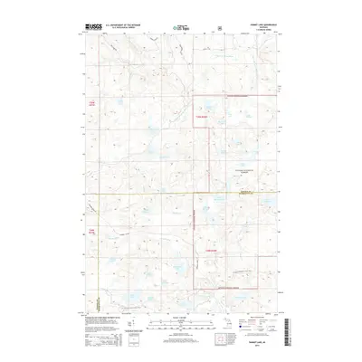
2014 Map of Summit Lake
USGS Topo · Published 2014About this map
The Ottawa National Forest encompasses this high-elevation lake district along the border of Baraga and Marquette counties. This remote interior of the Upper Peninsula is defined by its complex hydrology, where the headwaters of the W Br Huron River and the Peshekee River arise from a dense cluster of water bodies including Summit Lake, Lake Vedder, and Lake Elinor. The landscape's industrial and recreational history is traced by the Peshekee Grade, a former logging railroad bed now used for vehicle access, and the N Country National Scenic Trail, which winds through the southern portion of the quadrangle. These features, along with names like White Deer Lake and Four Island Lake, reflect a wilderness character maintained into the early 21st century.
Find a feature on this map
46 named features on this map. Tap any name to fly to it.
Don’t see what you’re looking for? This feature index may not catch every label — zoom into the map to look around manually.
Map Details
Editions of this 2014 Summit Lake Map
This is the sole edition of this map. No revisions or reprints were ever made.
Other maps of this area

1954 · Huron Mountain
USGS Topo · 1:62,500

1954 · Skanee
USGS Topo · 1:62,500

1955 · Champion
USGS Topo · 1:24,000

1955 · Champion
USGS Topo · 1:62,500

1956 · Three Lakes
USGS Topo · 1:24,000

1956 · Michigamme
USGS Topo · 1:62,500

1956 · Michigamme
USGS Topo · 1:24,000

1958 · Marquette
USGS Topo · 1:250,000

1958 · Iron River
USGS Topo · 1:250,000

1960 · Iron River
USGS Topo · 1:250,000