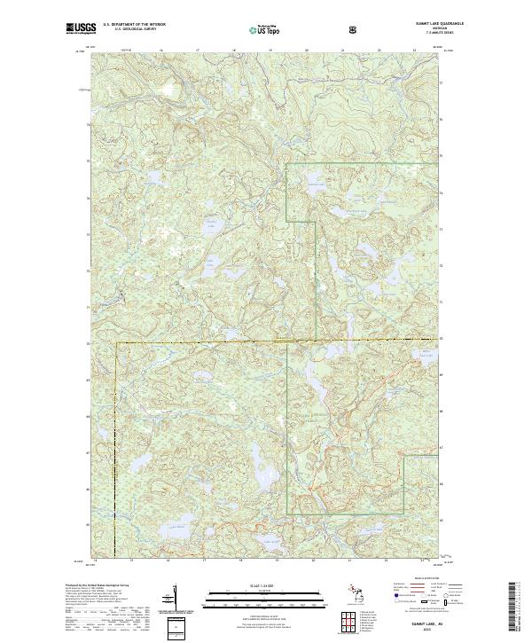
2023 Map of Summit Lake
USGS Topo · Published 2023About this map
The McCormick Wilderness and Ottawa National Forest dominate this landscape on the border of Baraga and Marquette counties. This remote interior is defined by a dense network of glacial lakes and headwater streams, including the West Branch Huron River and the south-flowing Peshekee River. The presence of the Huron Bay Grade and the Peshekee Grade reflects the region's logging and transport history, following the paths of former rail routes through the timberlands.
Find a feature on this map
48 named features on this map. Tap any name to fly to it.
Don’t see what you’re looking for? This feature index may not catch every label — zoom into the map to look around manually.
Map Details
Editions of this 2023 Summit Lake Map
This is the sole edition of this map. No revisions or reprints were ever made.
Other maps of this area

1954 · Huron Mountain
USGS Topo · 1:62,500

1954 · Skanee
USGS Topo · 1:62,500

1955 · Champion
USGS Topo · 1:24,000

1955 · Champion
USGS Topo · 1:62,500

1956 · Three Lakes
USGS Topo · 1:24,000

1956 · Michigamme
USGS Topo · 1:62,500

1956 · Michigamme
USGS Topo · 1:24,000

1958 · Marquette
USGS Topo · 1:250,000

1958 · Iron River
USGS Topo · 1:250,000

1960 · Iron River
USGS Topo · 1:250,000