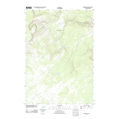
2012 Map of Summit Lake
USGS Topo · Published 2012About this map
Geothermal activity and high-altitude hydrology define this high-country landscape in Wyoming’s Teton County. At the heart of the terrain lies Summit Lake, surrounded by specialized thermal features including Smoke Jumper Hot Springs and the Summit Lake Hot Springs. The presence of these named springs suggests the significant volcanic and thermal character of the region. The map tracks the headwaters of several drainage systems, with the Little Firehole River winding through the expansive Little Firehole Meadows in the northern portion of the quadrangle. Other water systems, such as the W Fork Iron Spring Cr and Fairy Cr, mark the intricate network of streams that drain this wilderness area. This 2012 survey by the U.S. Geological Survey provides an essential record of the natural state and names of these remote backcountry locations.
Find a feature on this map
8 named features on this map. Tap any name to fly to it.
Don’t see what you’re looking for? This feature index may not catch every label — zoom into the map to look around manually.
Map Details
Editions of this 2012 Summit Lake Map
This is the sole edition of this map. No revisions or reprints were ever made.
Other maps of this area

1885 · Gallatin
USGS Topo · 1:125,000

1885 · Gallatin
USGS Topo · 1:125,000

1886 · Shoshone
USGS Topo · 1:125,000

1888 · Shoshone
USGS Topo · 1:125,000

1895 · Shoshone
USGS Topo · 1:125,000

1901 · Shoshone
USGS Topo · 1:125,000

1901 · Gallatin
USGS Topo · 1:125,000

1908 · Gallatin
USGS Topo · 1:125,000

1908 · Shoshone
USGS Topo · 1:125,000

1911 · Shoshone
USGS Topo · 1:125,000