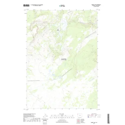
2017 Map of Summit Lake
USGS Topo · Published 2017About this map
Yellowstone National Park terrain dominates this 2017 survey, centered on the high-elevation hydrothermal features and meadows of the Madison Plateau. The map provides a detailed look at the hydrology of the upper Little Firehole River, including the expansive Little Firehole Meadows. This area is particularly notable for its remote geothermal activity, as evidenced by Summit Lake Hot Springs and Smoke Jumper Hot Springs near the shores of Summit Lake and Little Summit Lake. The backcountry character of the landscape is defined by its foot traffic routes rather than roads, most notably the Continental Divide National Scenic Trail which traverses the south-central portion of the quadrangle. In the north, the Fairy Creek Trail winds through the drainages of the Little Firehole River, illustrating the rugged, roadless interior of the park.
Find a feature on this map
15 named features on this map. Tap any name to fly to it.
Don’t see what you’re looking for? This feature index may not catch every label — zoom into the map to look around manually.
Map Details
Editions of this 2017 Summit Lake Map
This is the sole edition of this map. No revisions or reprints were ever made.
Other maps of this area

1885 · Gallatin
USGS Topo · 1:125,000

1885 · Gallatin
USGS Topo · 1:125,000

1886 · Shoshone
USGS Topo · 1:125,000

1888 · Shoshone
USGS Topo · 1:125,000

1895 · Shoshone
USGS Topo · 1:125,000

1901 · Shoshone
USGS Topo · 1:125,000

1901 · Gallatin
USGS Topo · 1:125,000

1908 · Gallatin
USGS Topo · 1:125,000

1908 · Shoshone
USGS Topo · 1:125,000

1911 · Shoshone
USGS Topo · 1:125,000