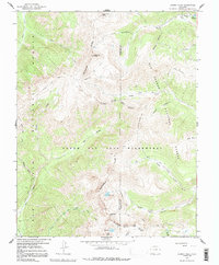
1966 Map of Summit Peak
USGS Topo · Published 1992About this map
The Continental Divide winds through the high country of southwest Colorado, marking the boundary between Archuleta and Conejos counties. This mid-century survey captures the high-altitude hydrology and transit routes that defined the South San Juan Wilderness and adjacent national forests before modern infrastructure. The map documents a complex network of pack trails, such as the Little Blanco Trail (Pack) and Quartz Creek Trail (Pack), which served as the primary arteries for movement through this alpine environment. High-altitude landmarks like Montezuma Peak and Summit Peak overlook numerous glacial features, including Fish Lake and Lake Ann. The drainage patterns are clearly defined, showing the headwaters of the Rio Blanco flowing west and the North Fork Conejos River flowing east, while the San Juan Stock Driveway indicates the seasonal movement of livestock across this terrain.
Find a feature on this map
34 named features on this map. Tap any name to fly to it.
Don’t see what you’re looking for? This feature index may not catch every label — zoom into the map to look around manually.
Map Details
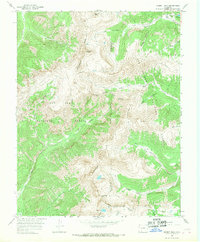
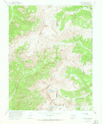
Editions of this 1966 Summit Peak Map
3 editions found
Other maps of this area

1913 · Summitville
USGS Topo · 1:125,000

1915 · Summitville
USGS Topo · 1:125,000

1945 · Durango
USGS Topo · 1:250,000

1953 · Durango
USGS Topo · 1:250,000

1954 · Durango
USGS Topo · 1:250,000

1957 · Chromo
USGS Topo · 1:62,500

1957 · Wolf Creek Pass
USGS Topo · 1:62,500

1957 · Chama Peak
USGS Topo · 1:62,500

1961 · Durango
USGS Topo · 1:250,000

1963 · Durango
USGS Topo · 1:250,000